文字サイズ

文字サイズ


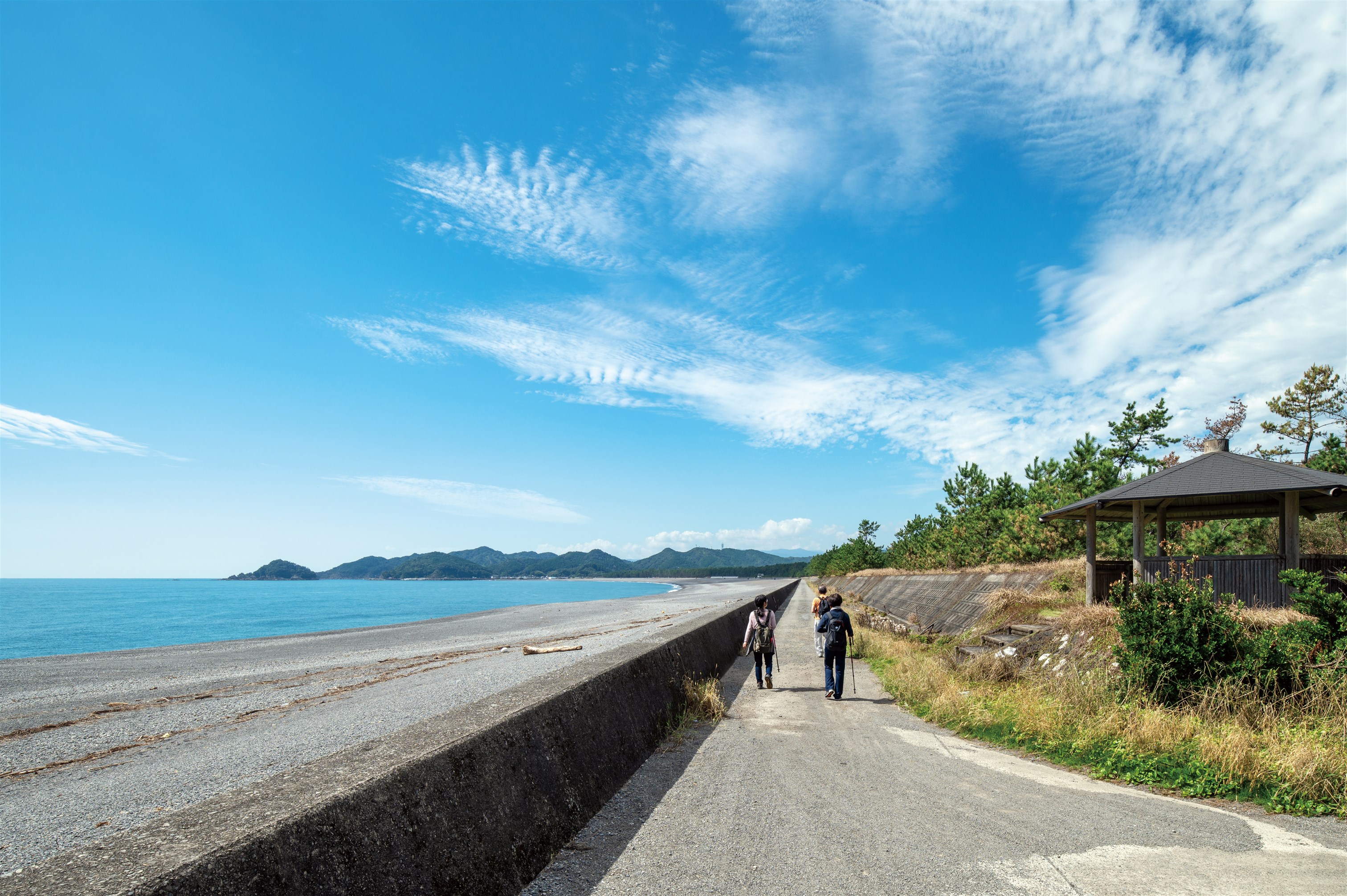
Ōzato Matsubara Beach has been selected as one of Japan’s 100 best white sand and green pine forests.
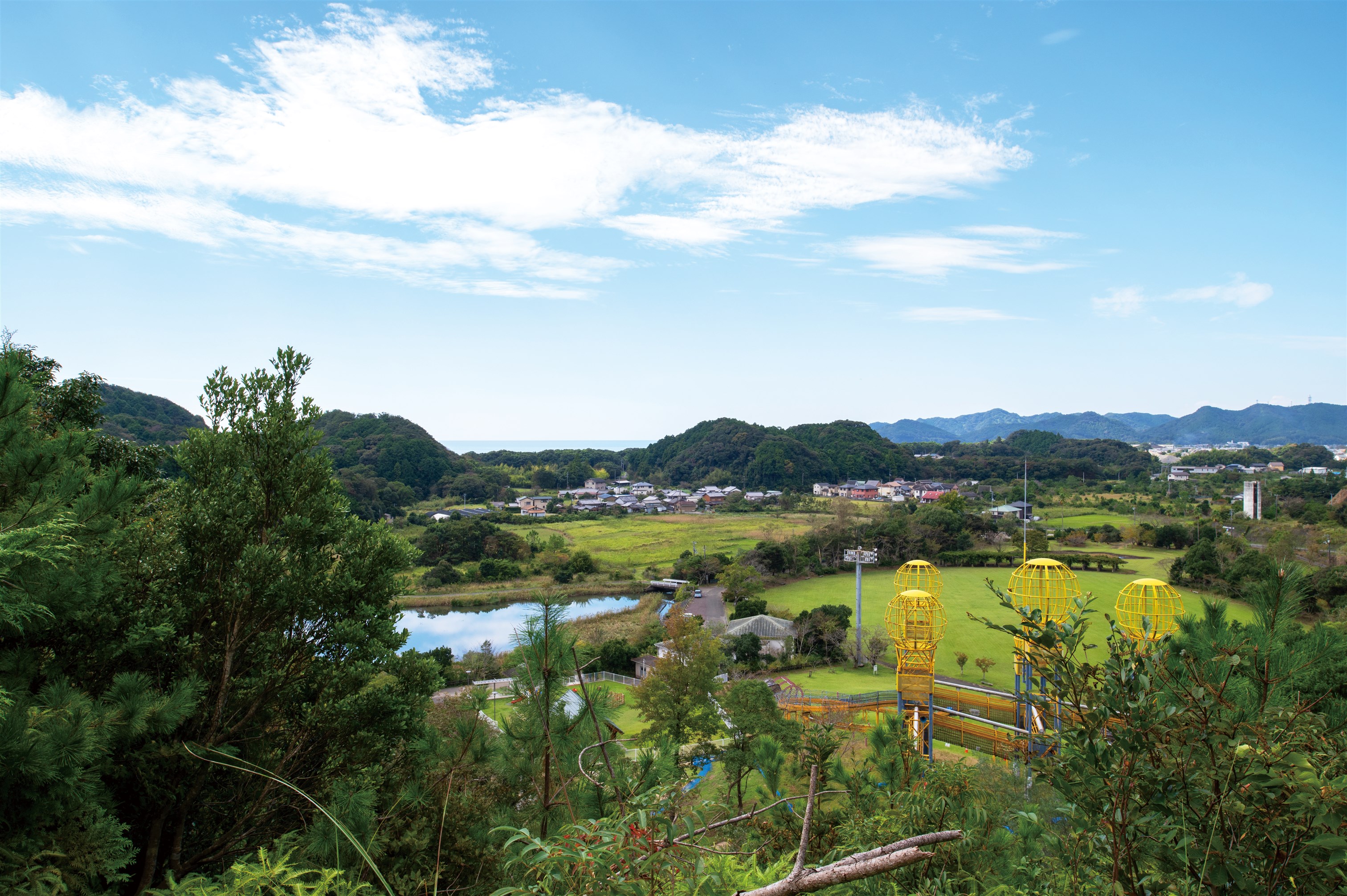
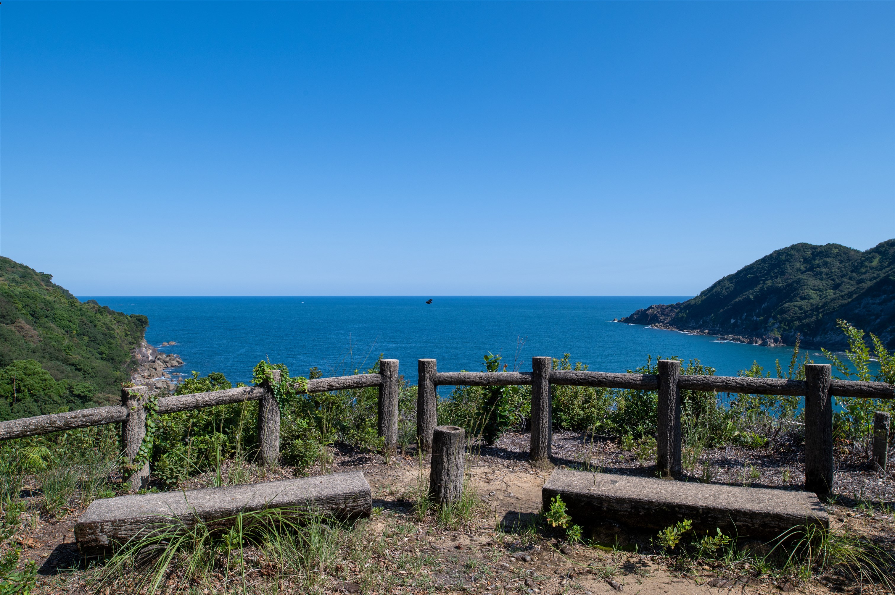
A unique view spot of the route is being able to see Ebigaike pond and children playing in the park.
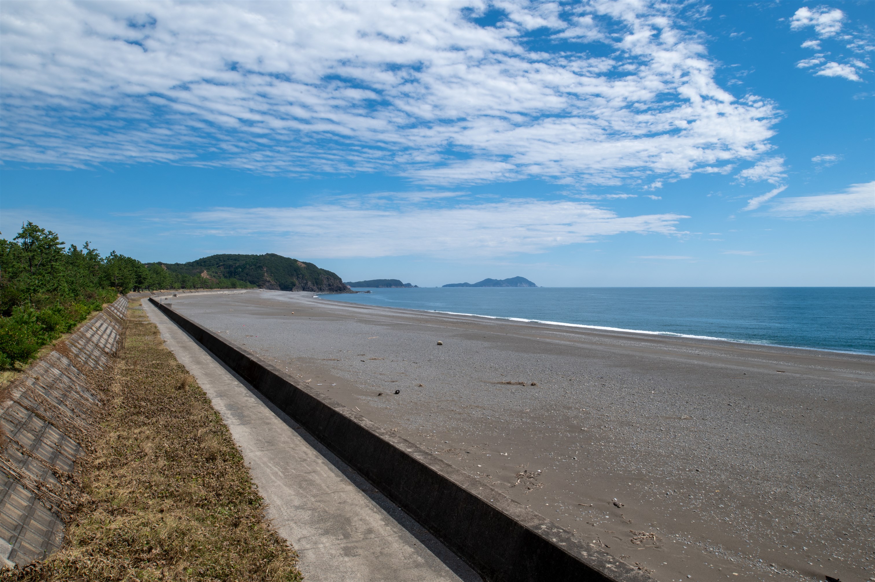
You can enjoy a spectacular view that stretches 4 km in length at Ōzato Matsubara Beach.
Go up and then down the road, and Nasa Bay can be seen when the view opens up.
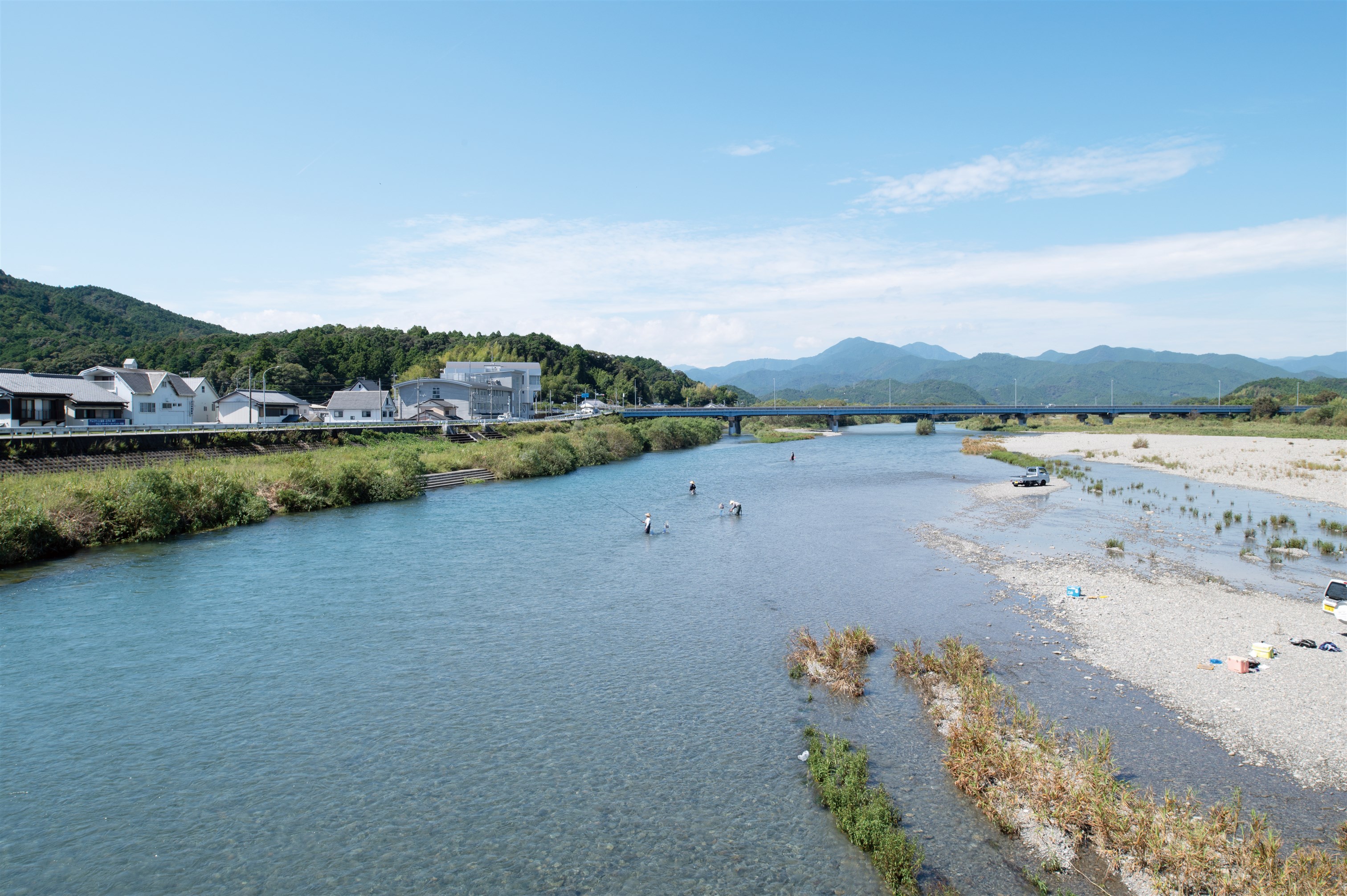
This is an excellent photo spot where you c an see the clear Kaifugawa River and the DMV (Dual-mode vehicle) running in the distance.
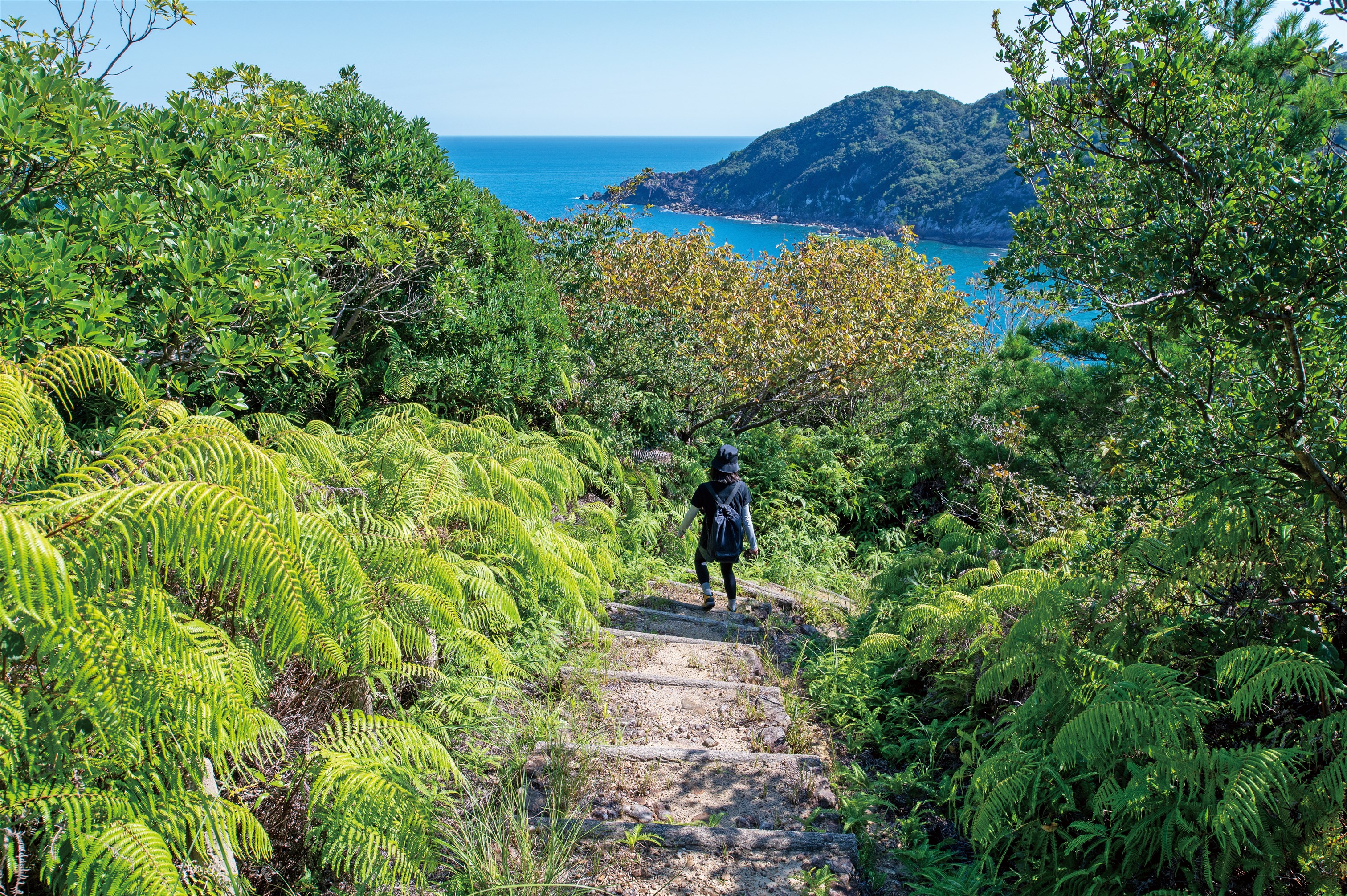
Mt. Atago (97.7 m), is an ideal hiking trail. From the rest stop at the summit, you can see Nasa Bay and Tomoura-Tegura Beach.
Nasa Bay and the Nasa Peninsula seen from the Nasa rest spot.
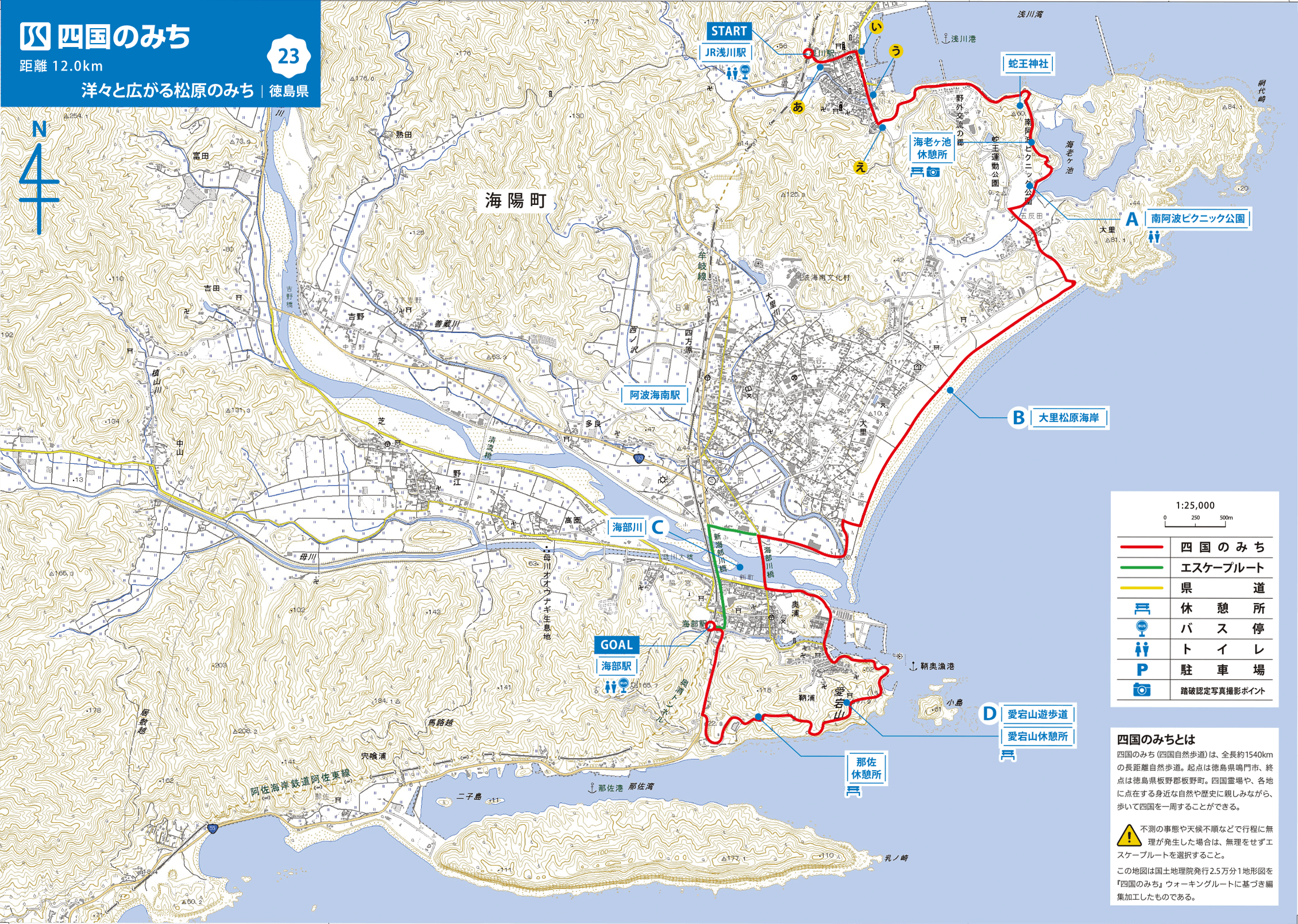
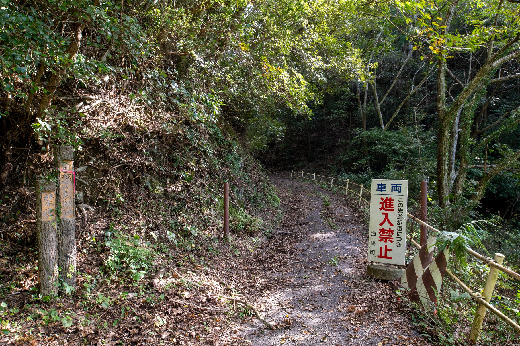
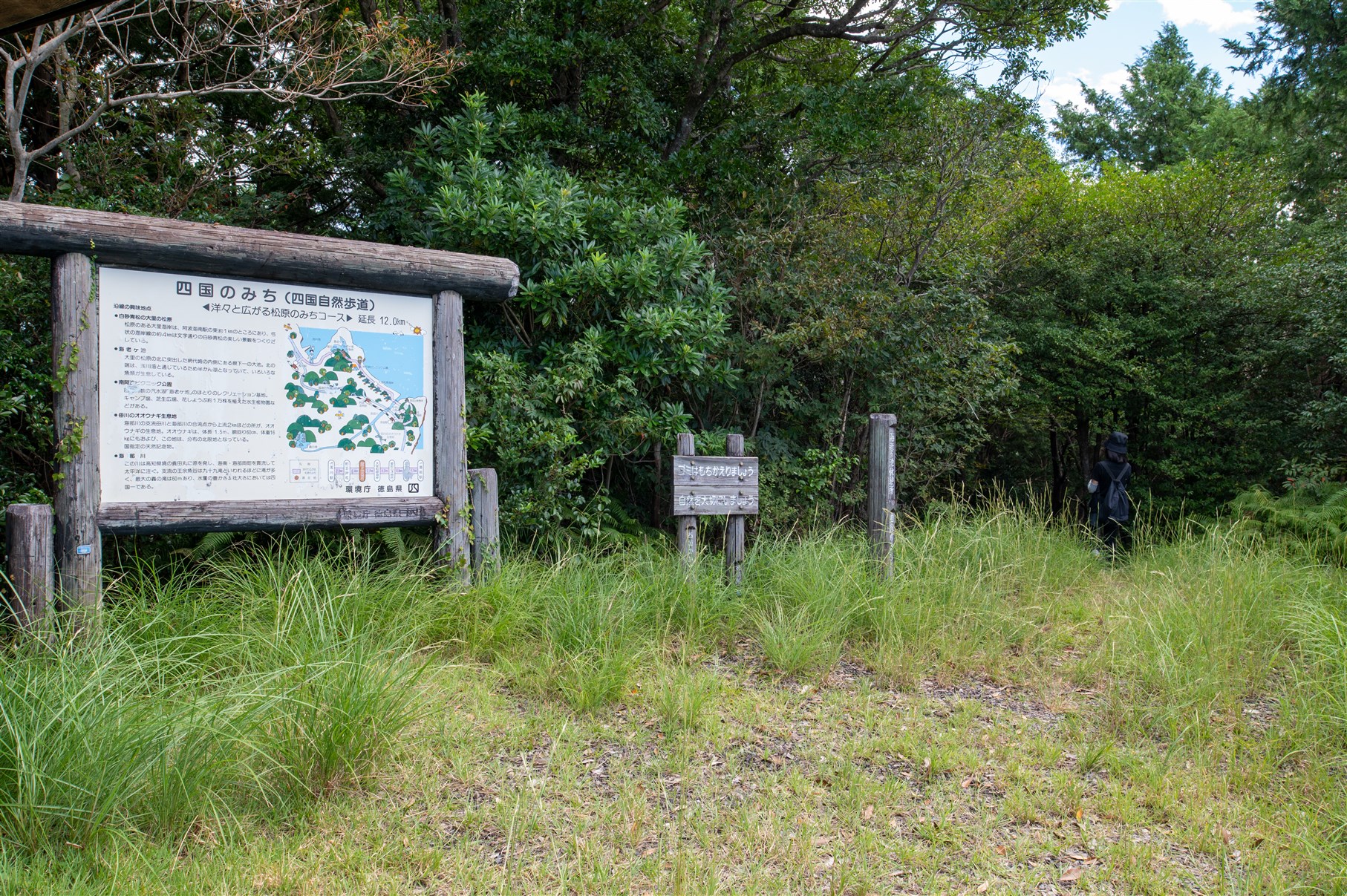
From JR Asakawa Station, walk through the town of Asakawa to the harbor and continue along the coastal path facing the bay. After passing ZaōShrine, you can see Ebigaike Pond below, and after walking for a short time you will arrive at Minami Awa Picnic Park. Beyond this is the magnificent Ōzato Matsubara Beach, with Kaiyo Town on the right. Even further is the Ōzato Matsubara Coastline, with beautiful contrasts of white sand and green pine trees. Nearby is the Hachiman Shrine, famous for the annual Ōzato no Fune Danjiri Festival held in October, in which sekifune (boats),floats, and portable shrines are put on display. The Ōzato Kofun Tumulus, a 13-meter-diameter circular mound built on the shore, has a Yokoana-style stone chamber and has been designated a historical site by the prefectural government. The trail also follows the clear Kaifugawa River, and the Hahagawa River, which is home to giant mottled eels. This course allows people to experience both the beauty of nature and history through the sea, mountains, rivers, and cityscape.
JR Asakawa Station ~ Zaō Shrine ~ Ebigaike rest spot ~ Ōzato Matsubara Beach ~ Atagoyama rest spot ~ Nasa rest spot ~ Kaifu Station
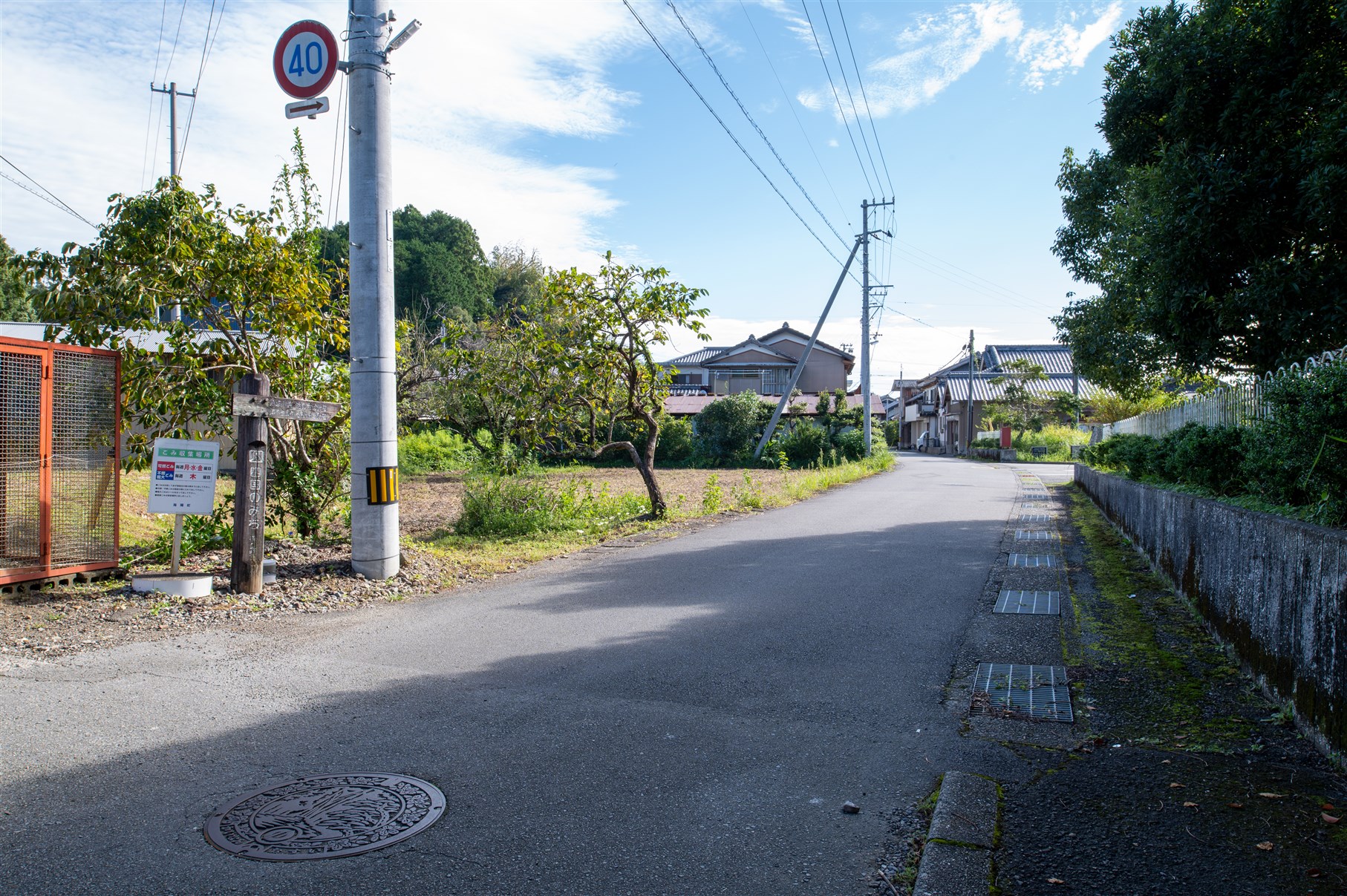
MAP【A】 There is a signpost at the entrance of the alley.
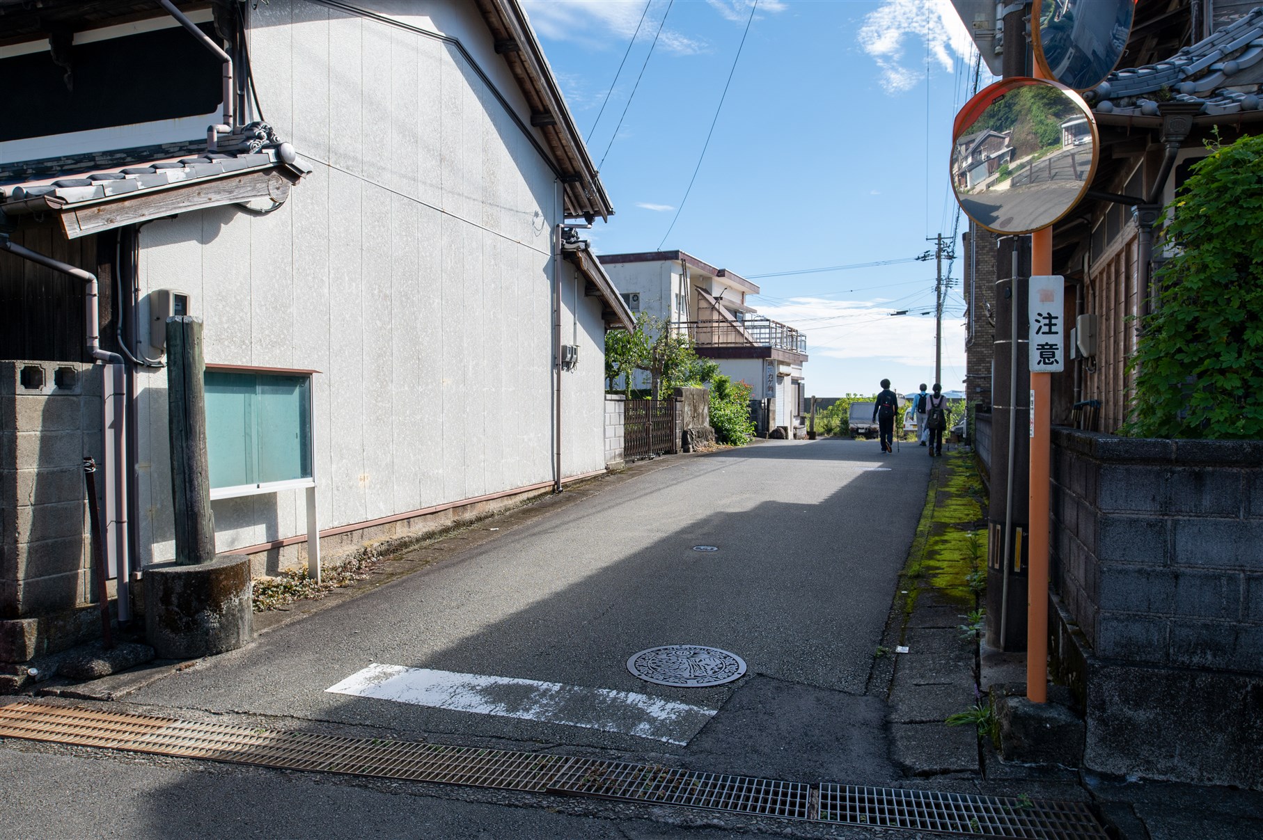
MAP【I】You will also find a signpost at the alley leading to the harbor.
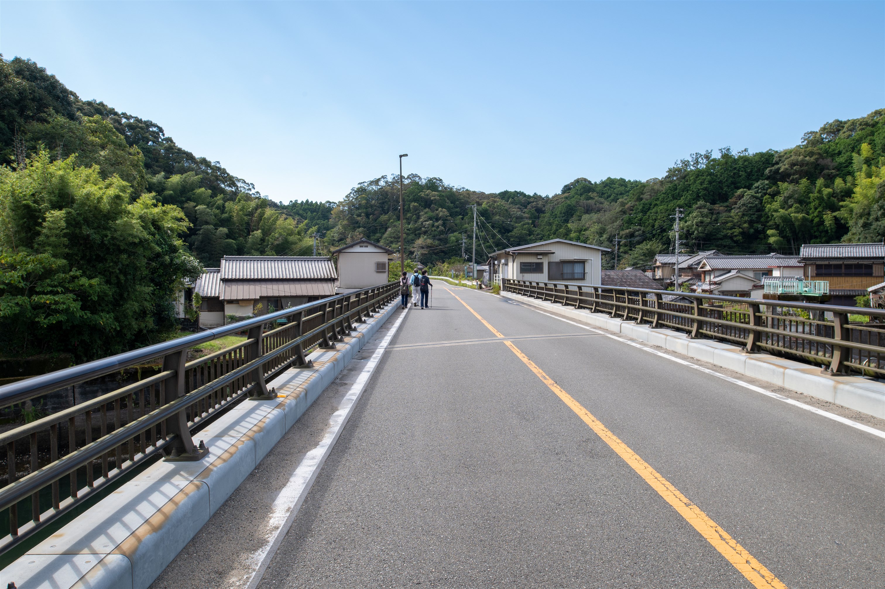
MAP【U】No signposts, but go south on the big bridge.
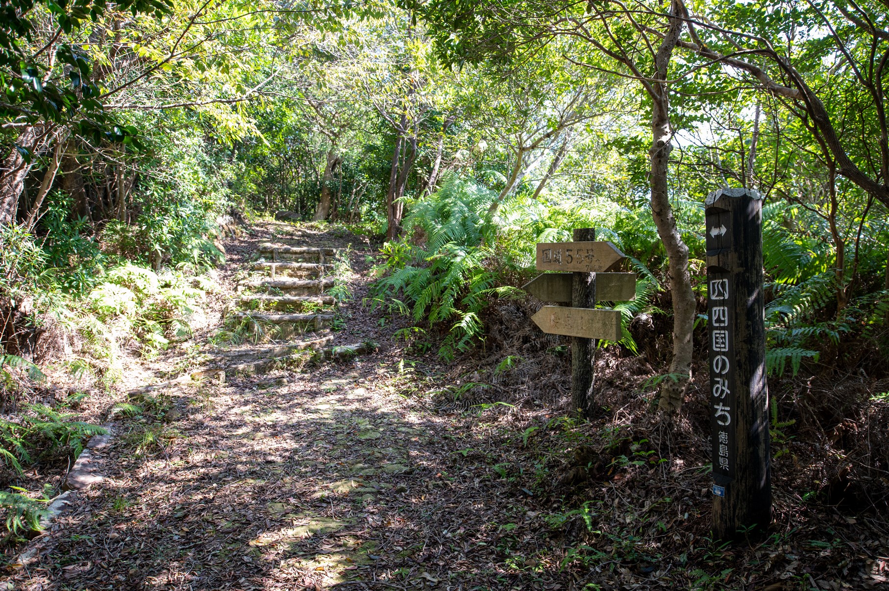
MAP【E】The entrance to the road leading to the Jaōjinja shrine
Ebibaike rest spot
Those wishing to receive a certificate of completion must take a photograph of oneself at the defined photo points on each course.
JR Asakawa train station
-
◎START
Railway: A short walk from "Asakawa Station" on the JR Mugi Line.
Bus: 1-minute walk from "JR Asakawa train station" on the Tokushima bus Nanbu line.
◎GOAL
Railway: A short walk from "Kaifu Station" on the Asa Coast Railway.
Bus: 2-minute walk from "Kaifu train station" on the Tokushima bus Nanbu line.