文字サイズ

文字サイズ


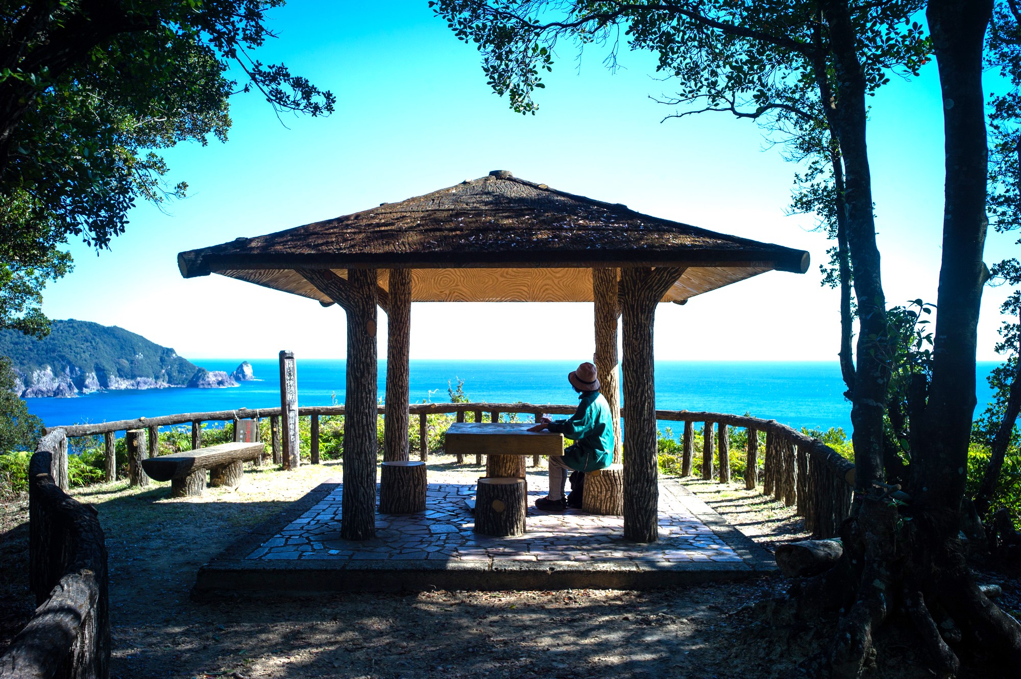
The Yubinohana rest spot where you can see Ebisu Cave.
On the way here you can also see where bombs
landed during the World War II.
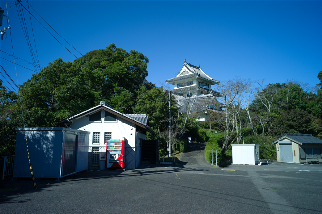
Hiwasa castle was built on a 65-meter-high mountain.
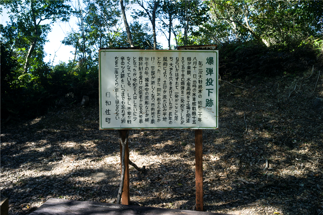
Bombing site. In August 1945 during World War II, U.S. fighter planes mistook the Suisan High School for a factory and dropped bombs on it.
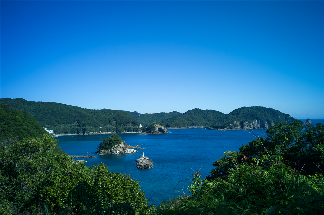
Ebisu Cave can be seen from the course past the bomb site to the Yubinohana rest spot.
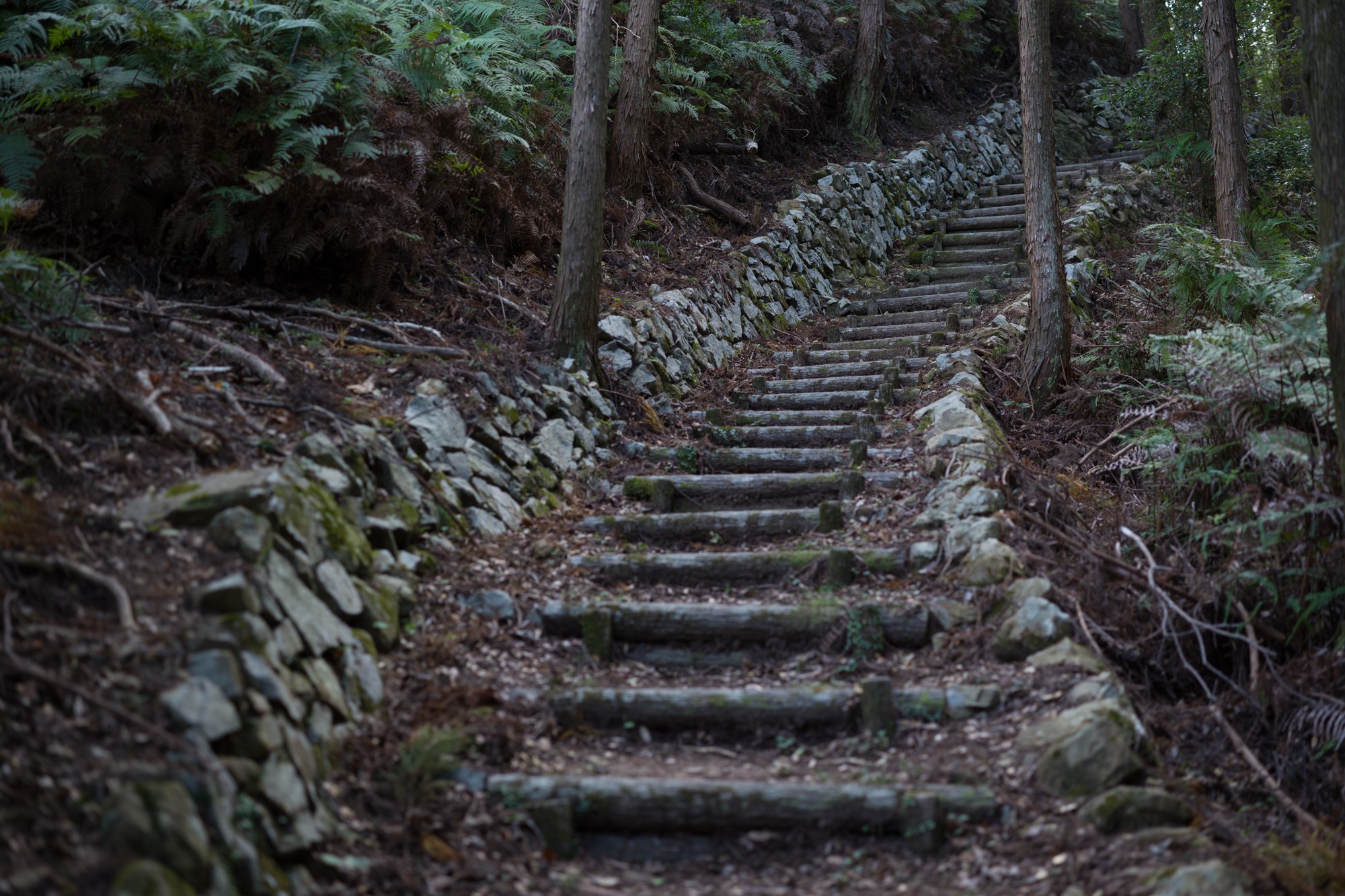
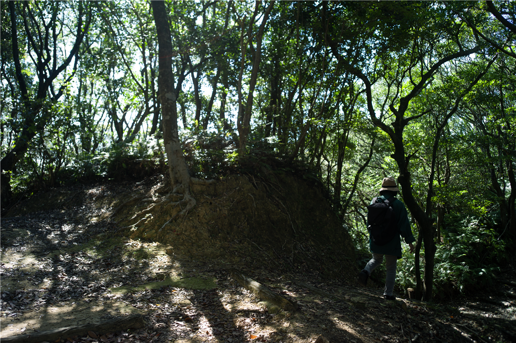
The well-maintained paths make it easy to walk.
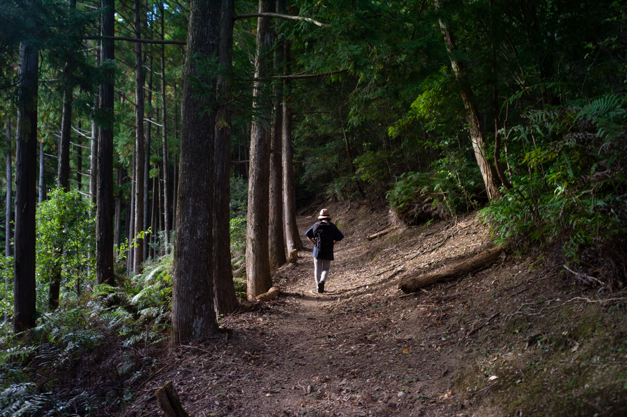
The course has a lot of elevation changes.
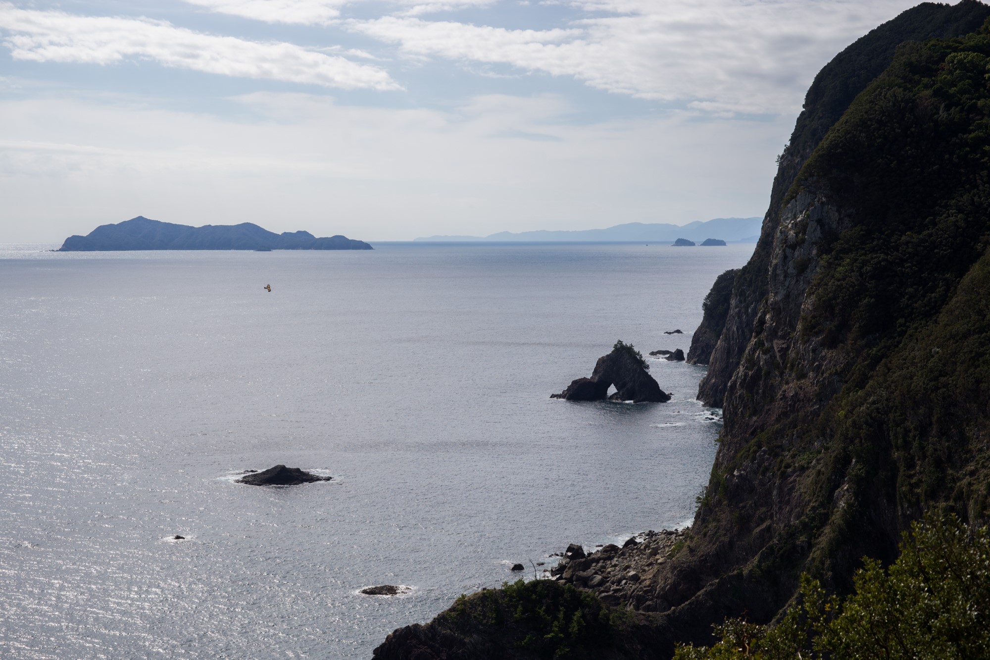
The Senba Sea Cliffs can be seen from the observation spot.
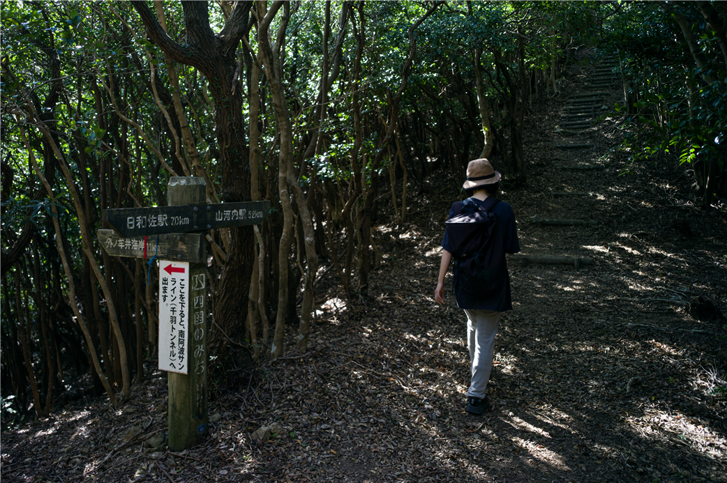
From roadside station Michi no Eki Hiwasa, which also has a produce market, set out along a gently ascending car road for Hiwasa Castle, said to have been built by Hiwasa Hizen-no-Kami, a powerful family from Hiwasa, to prevent Chosokabe Motochika’s(1539~1599) military forces from invading the southern part of Tokushima Prefecture. There are almost no toilets along this trail, so it is recommended to use them here. The course leads to a well-maintained mountain trail that is also used for trail running, and while there are ups and downs, there are also several rest spot along the way. The clear ocean can sometimes be seen through the dense trees, and it is a relaxing experience to walk along the trail while gasping for breath. From the Arase rest spot to the Tōriiwa rest spot, there is a long, steep slope and the Senba Sea Cliff, which can be seen from the lookout point along the way, is a vertical sea cliff near Mt.Senbagatake that is the main attraction.
JR Hiwasa Station ~ Hiwasa Castle ~ Yubinohana rest spot ~ Ōiso rest spot ~ Arase rest spot ~ Tōriiwa rest spot ~ Senba rest spot ~ JR Yamagawachi Station
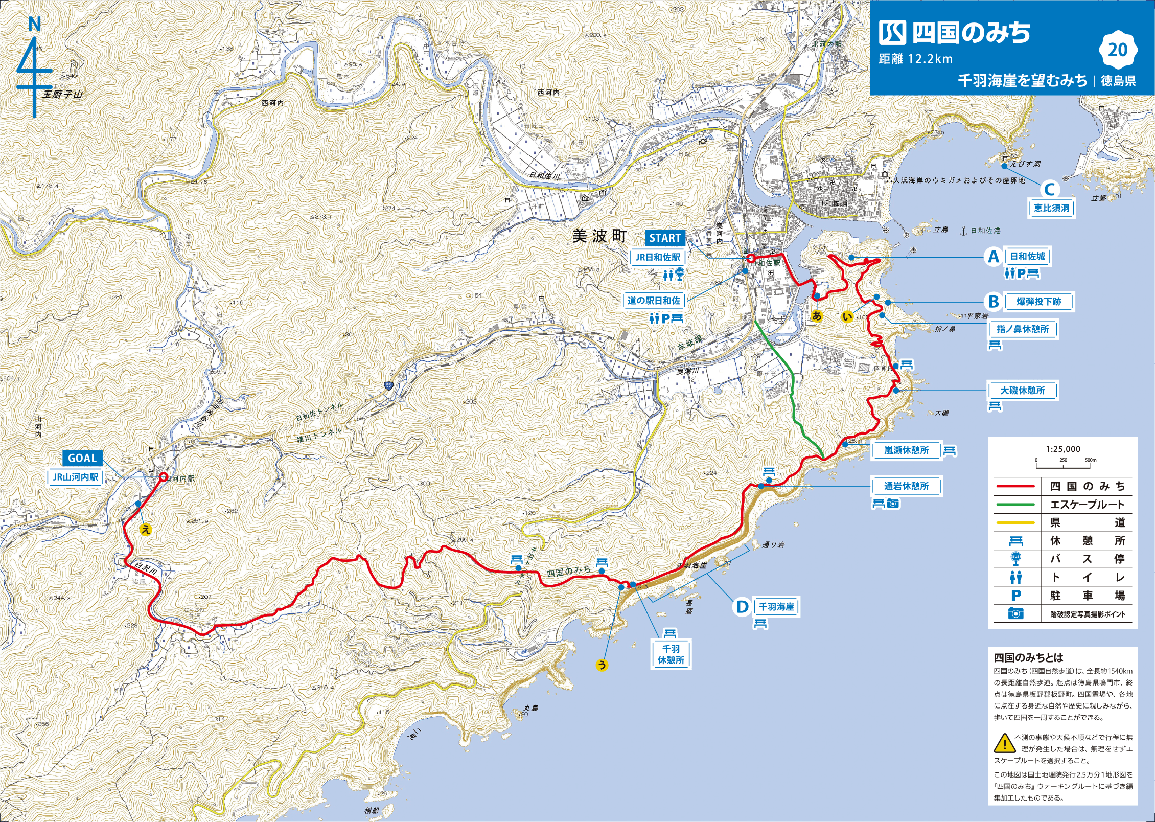
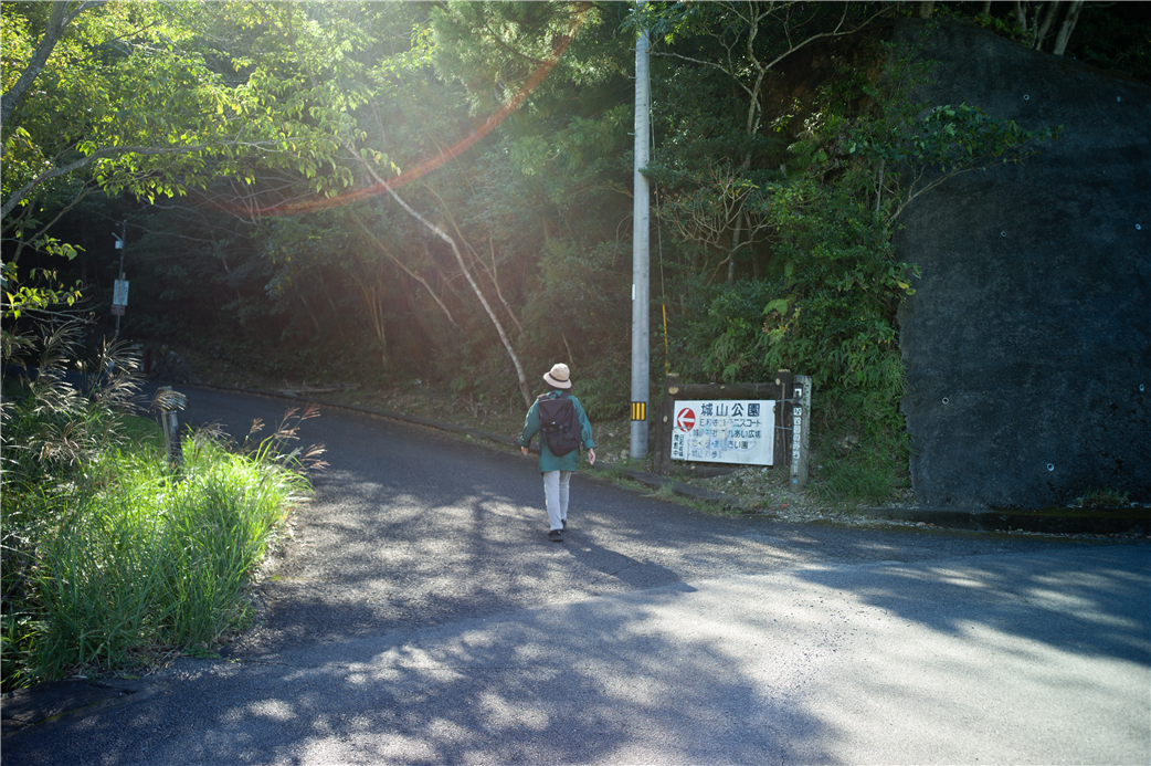
MAP 【A】 Go in the direction of Shiroyama Park.
MAP 【I】 Turn right although the junction is difficult to find.
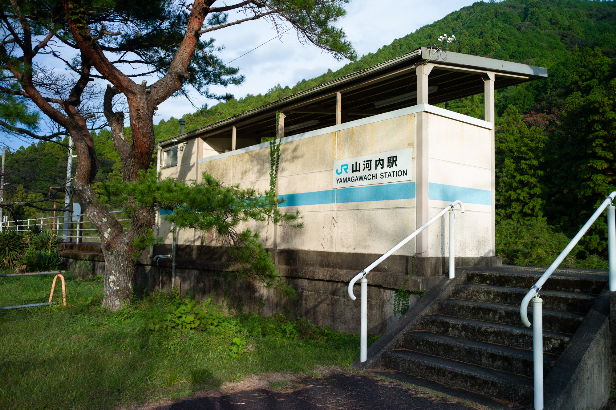
MAP 【U】 Aim for the goal, Yamakawachi train station.
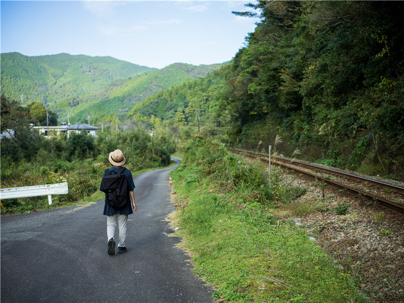
MAP 【E】 Walk along the railroad line through the countryside
Both the starting and finishing points are stations on the JR Mugi Line, so you can use the JR train on your return trip.
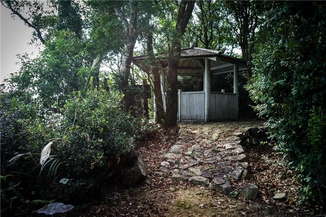
Tōriiwa rest spot
Those wishing to receive a certificate of completion must take a photograph of oneself at the defined photo points on each course.
JR Hiwasa train station
-
◎START
Railway: A short walk from "Hiwasa Station" on the JR Mugi Line.
Bus: 1-minute walk from "Hiwasa Station" on the Tokushima bus Nanbu line.
◎GOAL
Railway: A short walk from " Yamagawachi Station" on the JR Mugi Line.
Bus --