文字サイズ

文字サイズ


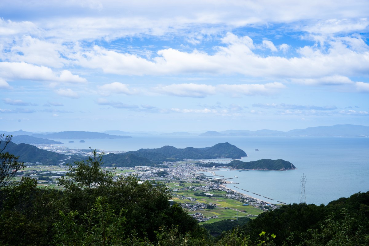
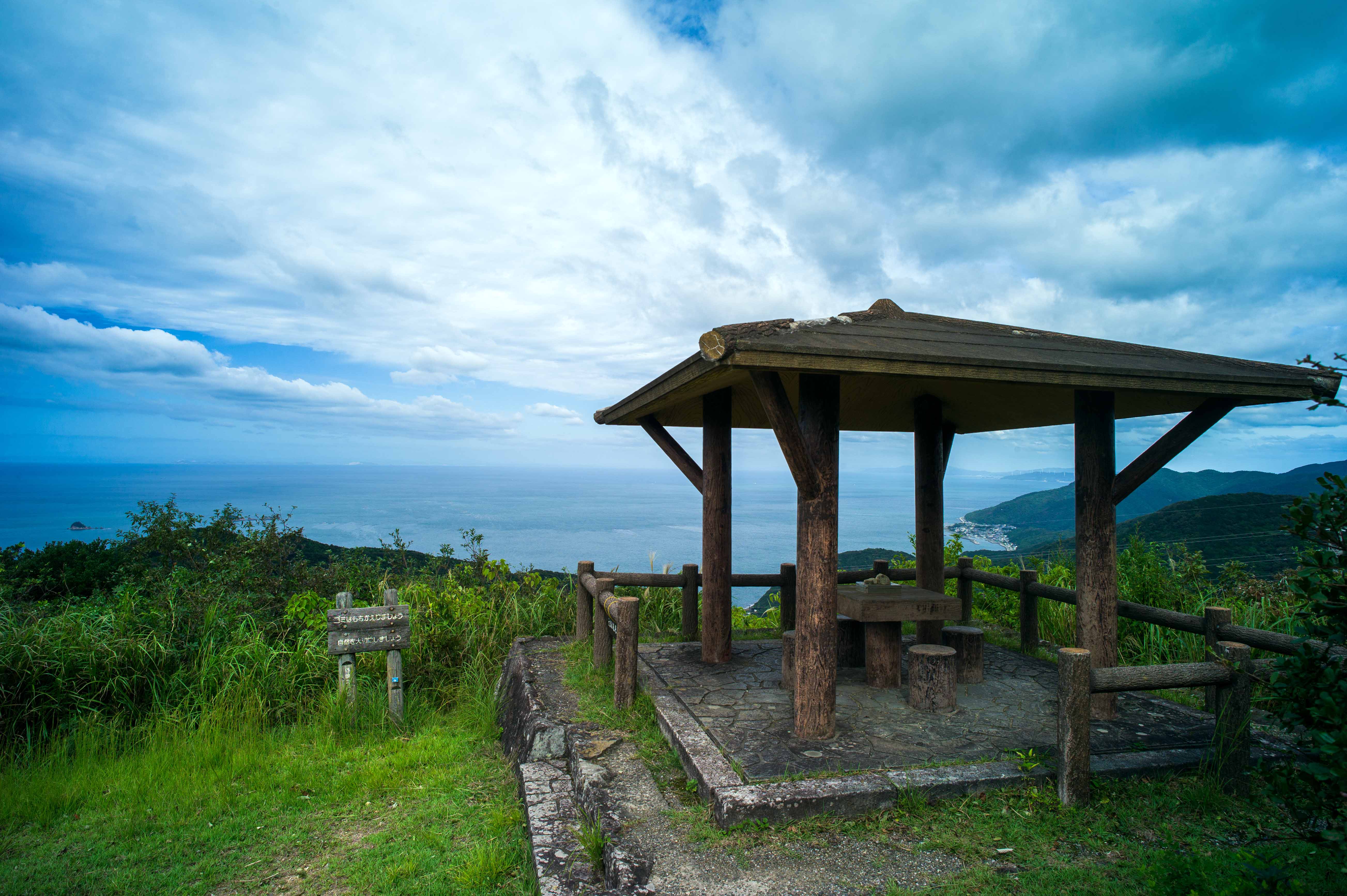
From the Ōsaka Pass observation spot, you can see the islands of the Setonaikai National Park.
Osakatoge Observation spot. Asebi Park, where thousands of asebi trees grow in clusters and pretty flowers bloom in early spring.
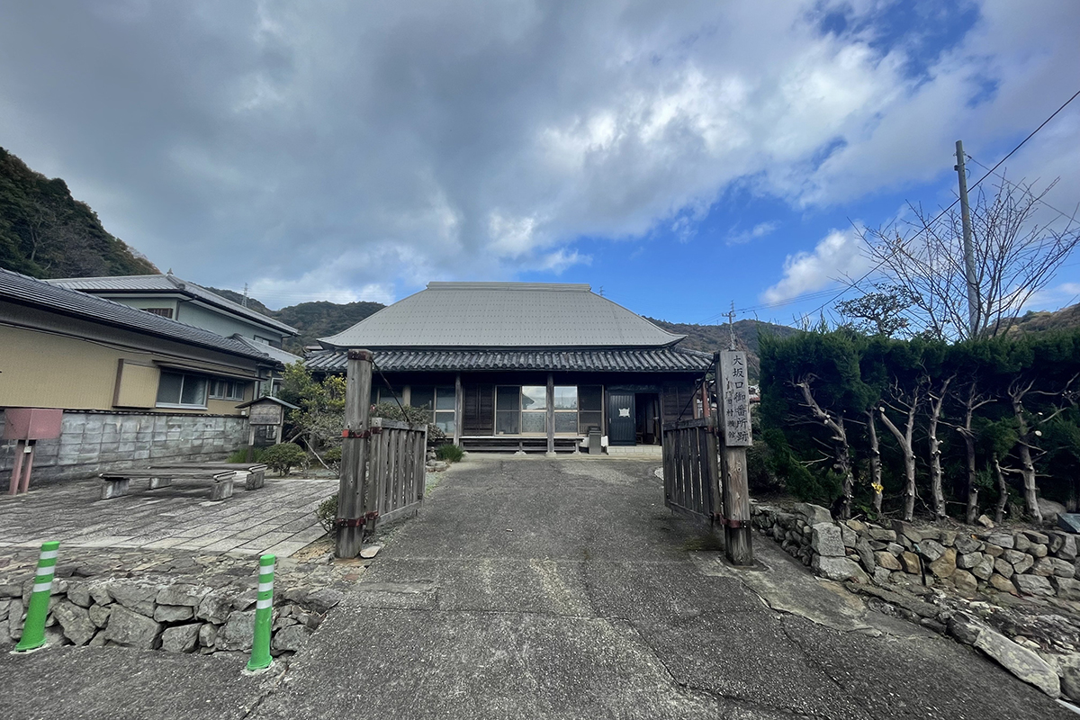
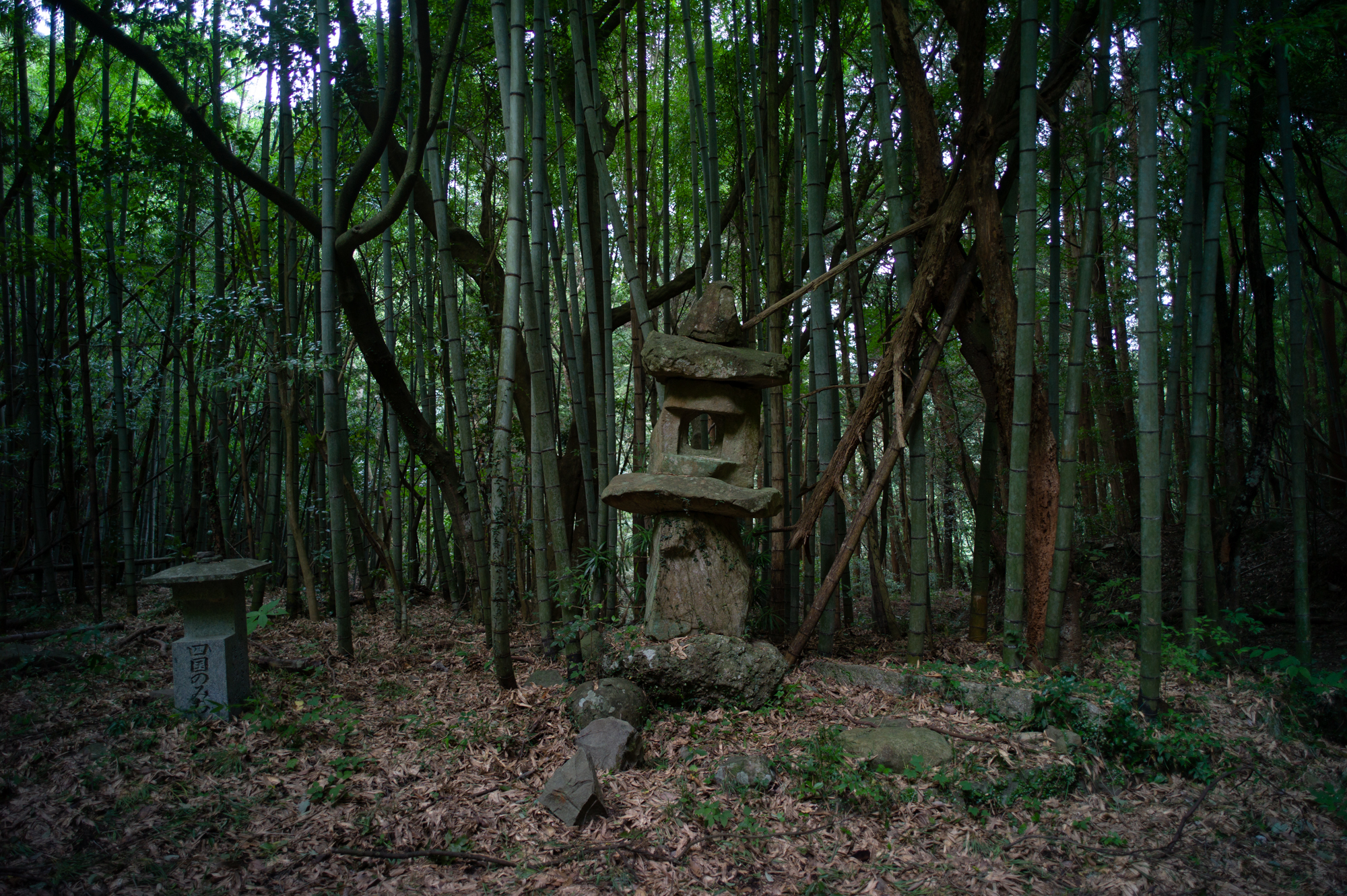
The "Osakaguchi Gobansho", which served as a border guard post for about 230 years, is open for tours only on Sundays.
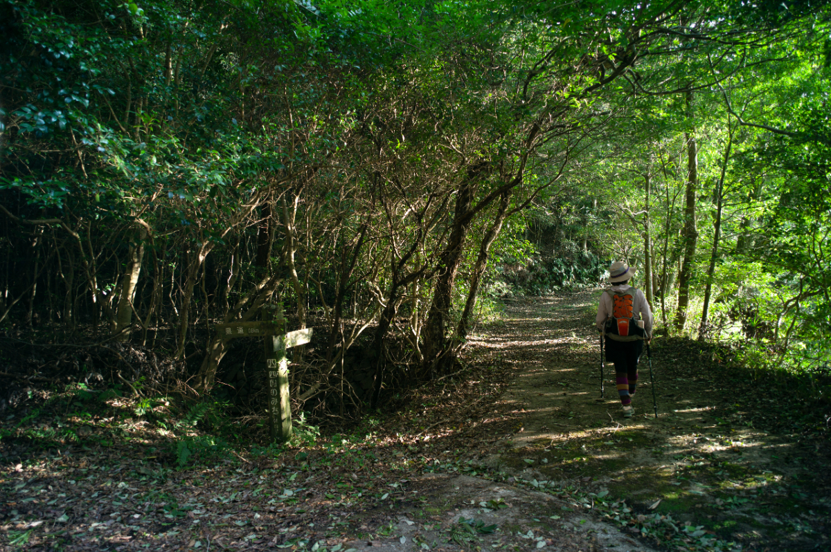
The mountain path leads to an old road that was once used by people traveling from present-day Tokushima to Kagwa prefecture and further on the capital city of Kyoto.
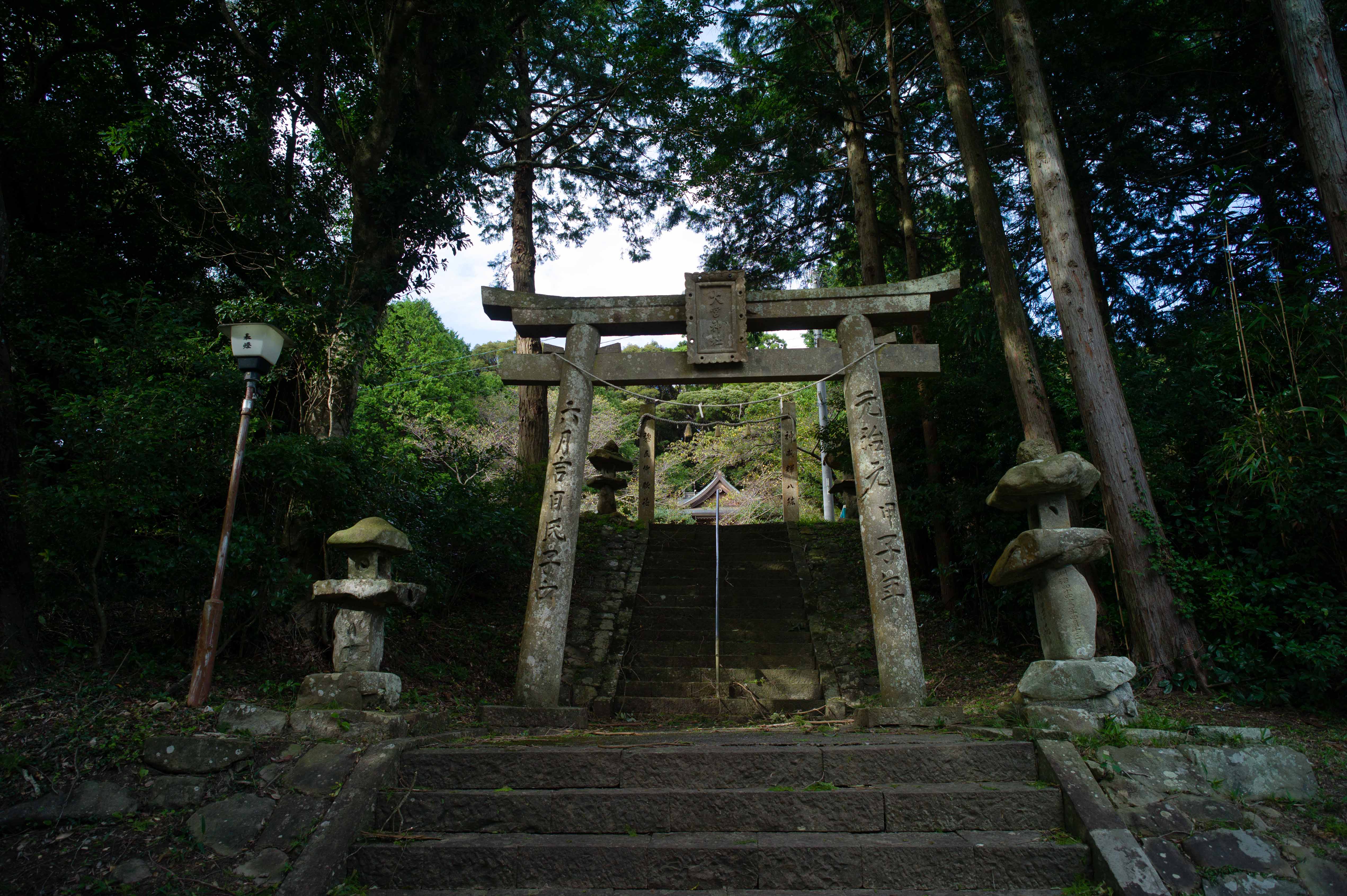
Omiyajinja shrine is located west of Awa-Omiya Station on the JR Kotoku Line.
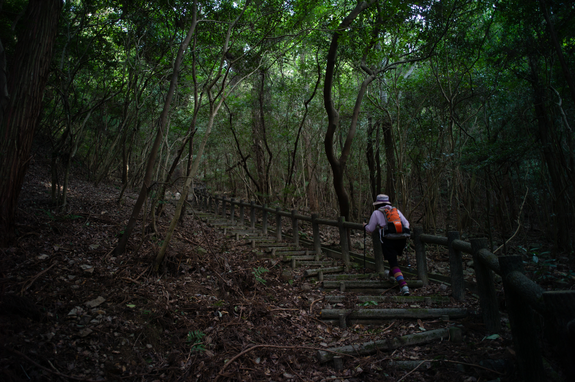
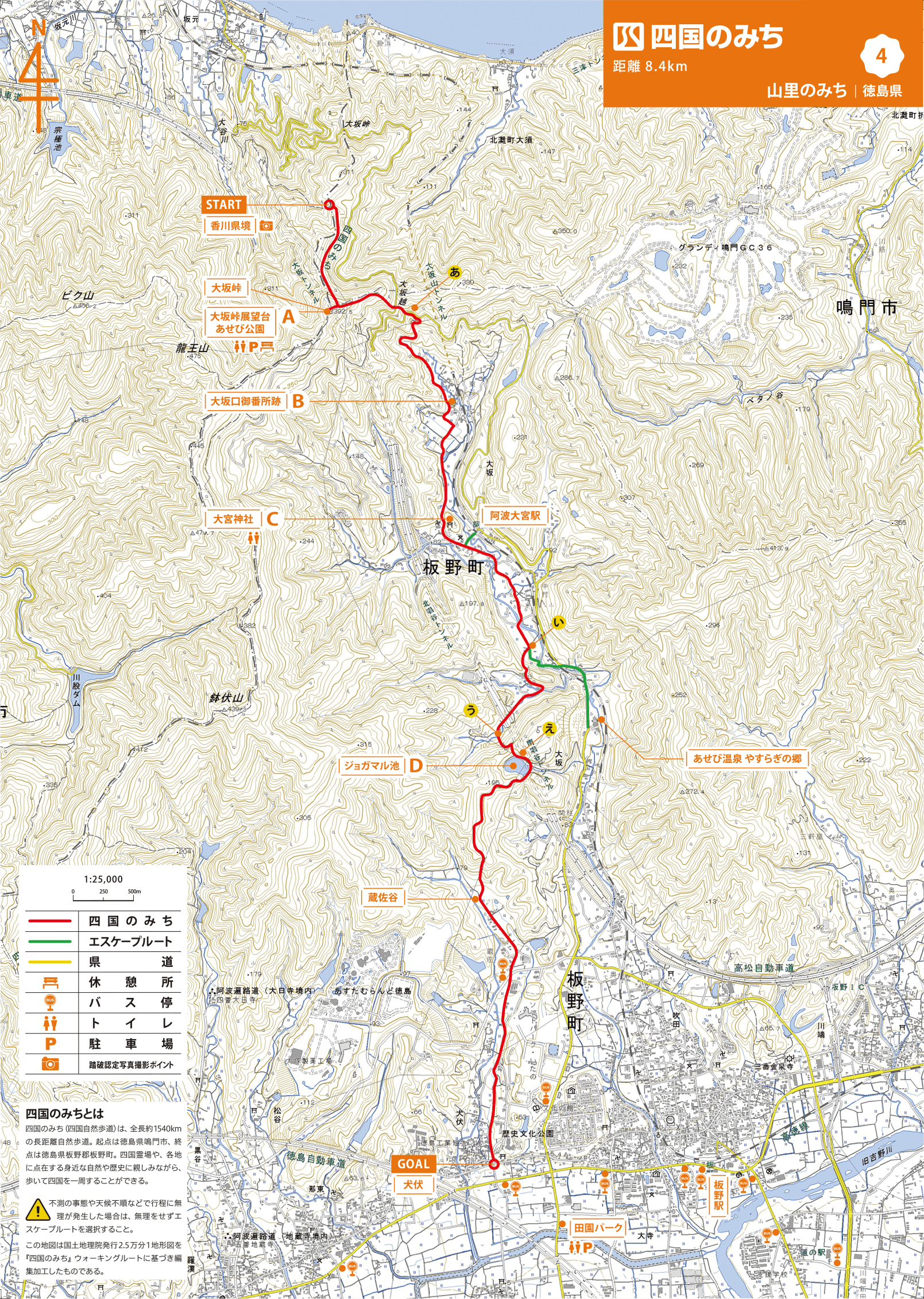
The mountain path with rails provides a stable foothold and is easy to walk on.
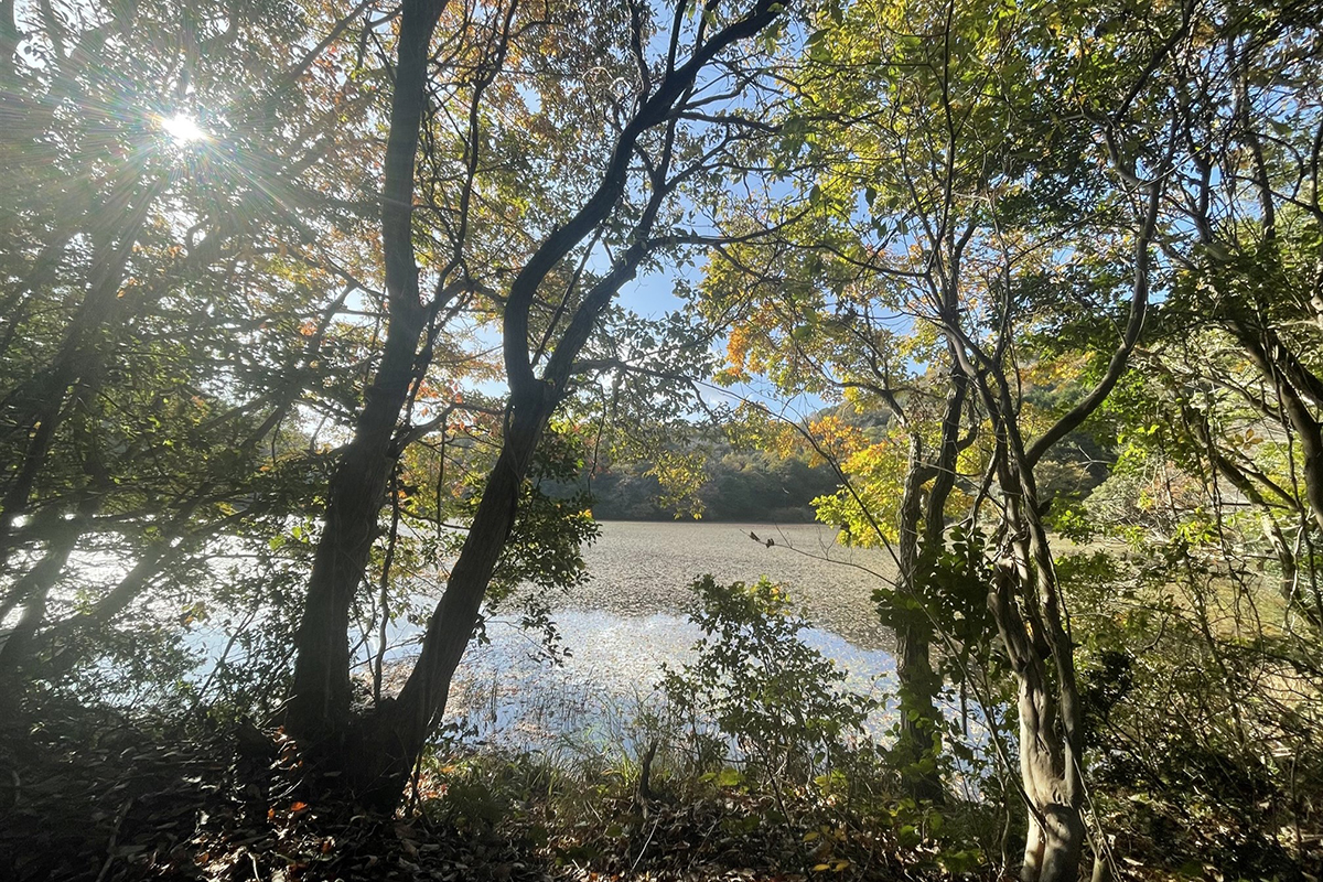
Jogamaru Pond has been selected as one of the“500Important Wetlands of Japan” by the Ministry of the Environment. This pond is considered to have retained a favorable natural environment.
Climb a mountain trail lined with red pines, sawtooth oaks, and konara oaks to reach the Ōsaka Pass. At the summit, the view opens up and you will reach an observation spot. From the pavilion, you can see the
islands of the Seto Inland Sea to the north. After a short rest, go back up the mountain road. The stone-paved road, lined with ferns, was once used by people from Tokushima Prefecture on their way to Kagawa Prefecture and further on to the old capital, Kyōto. As you walk down the old road, covered with fallen leaves and dead branches, you will see terraced fields and Japanese mandarin orchards, and eventually you will come to a mountain village. In the midst of the nostalgic mountain village scenery is the Ōsakaguchi Gobansho, an old border checkpoint, which is a reminder of the past when people travelled in this area. The museum is open to the public only on Sundays from 10:00 to 16:00.
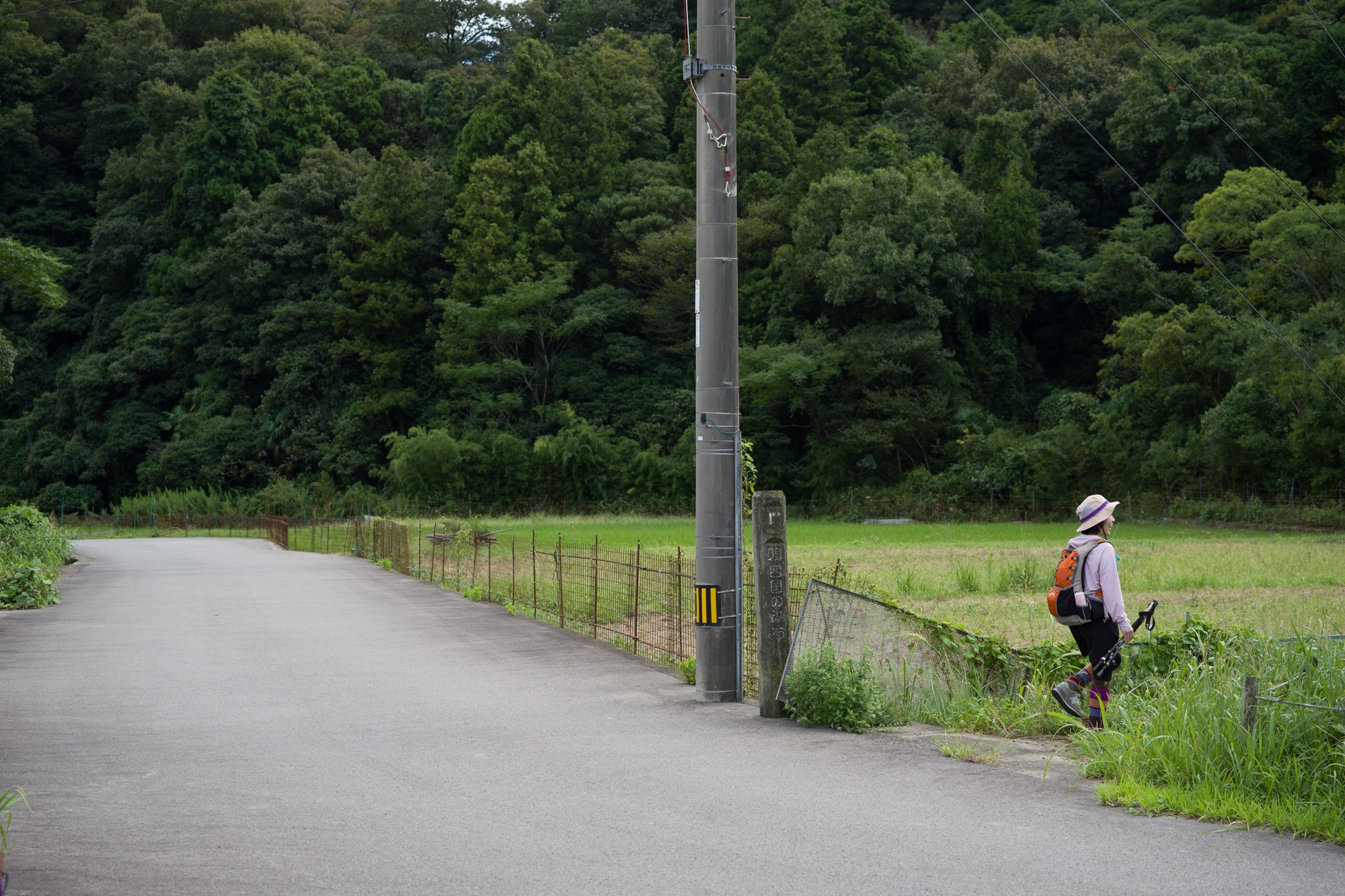
Continue through the peaceful countryside and you will arrive at Inubushi, the last stop on the route.
Between Tokushima and Kagawa Prefecture ~ Ōsaka Pass ~ Ōsakaguchi Gobansho ~ Jogamaru Pond ~ Zōzadani ~ Inubushi
MAP 【A】 Be careful of the steep downhill
MAP【I】Turn right at the fork without missing the signpost
MAP 【U】Cross the bridge that leads to a deep forest and continue on.
MAP 【E】Walk with Jogamaru Pond on your right
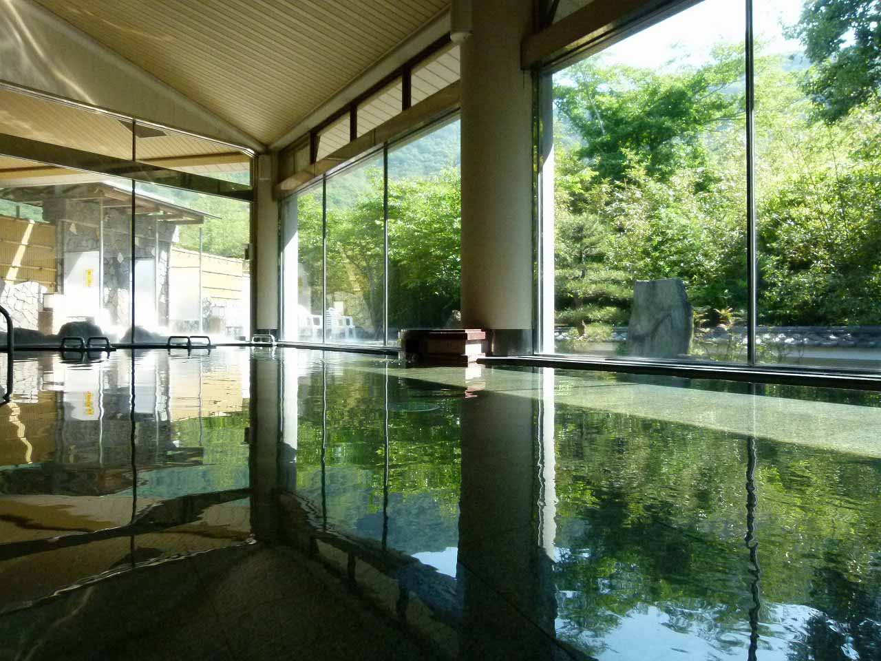
From the Omiya Shrine area, take Prefectural Road No. 1 to Asebi Onsen (hot spring) for about 2 km. Take a day-trip to relax your tired body.
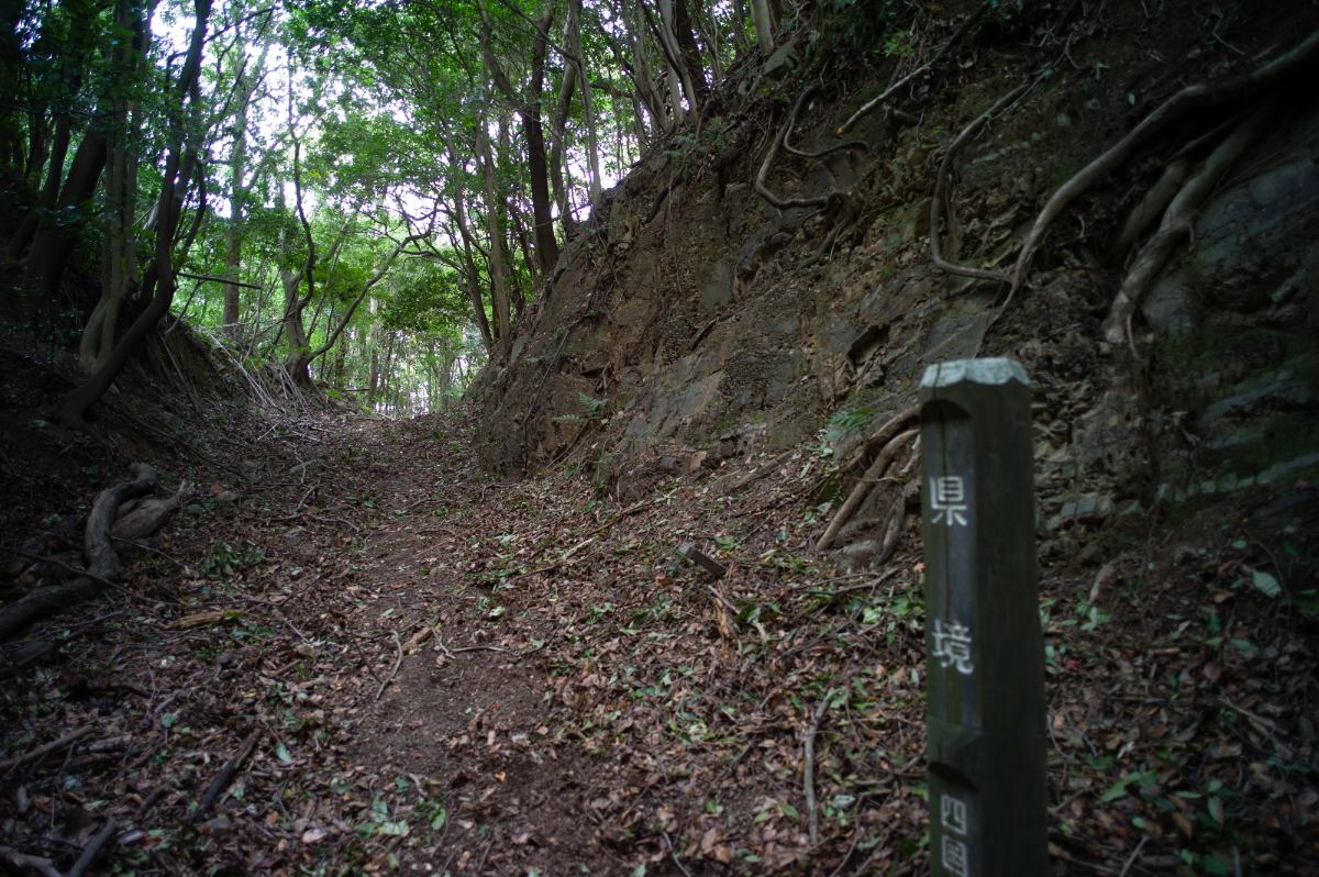
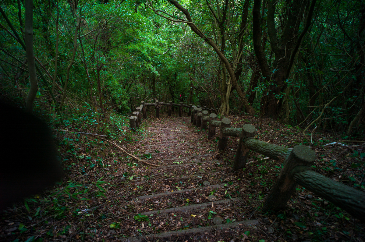
A sign near the Kagawa Prefecture border [No. 173].
Those wishing to receive a certificate of completion must take a photograph of oneself at the defined photo points on each course.
Via Prefectural Road No. 137 and "Prefectural Road No. 1. Meet at the "Asebi Park" parking lot.
-
◎START
Railway --
Bus --
◎GOAL
Railway: Approx. 20 minutes on foot from "Itano Station" on the JR Kotoku Line.
Bus: (Tokushima bus) 3 min. walk from " Inubushi ".