文字サイズ

文字サイズ


The Meganebashi Bridge(lit:eyeglasses bridge)on the grounds of Ōasahiko shrine, built by German prisoners of war during World War I,is a sign of friendship between Japan and Germany.
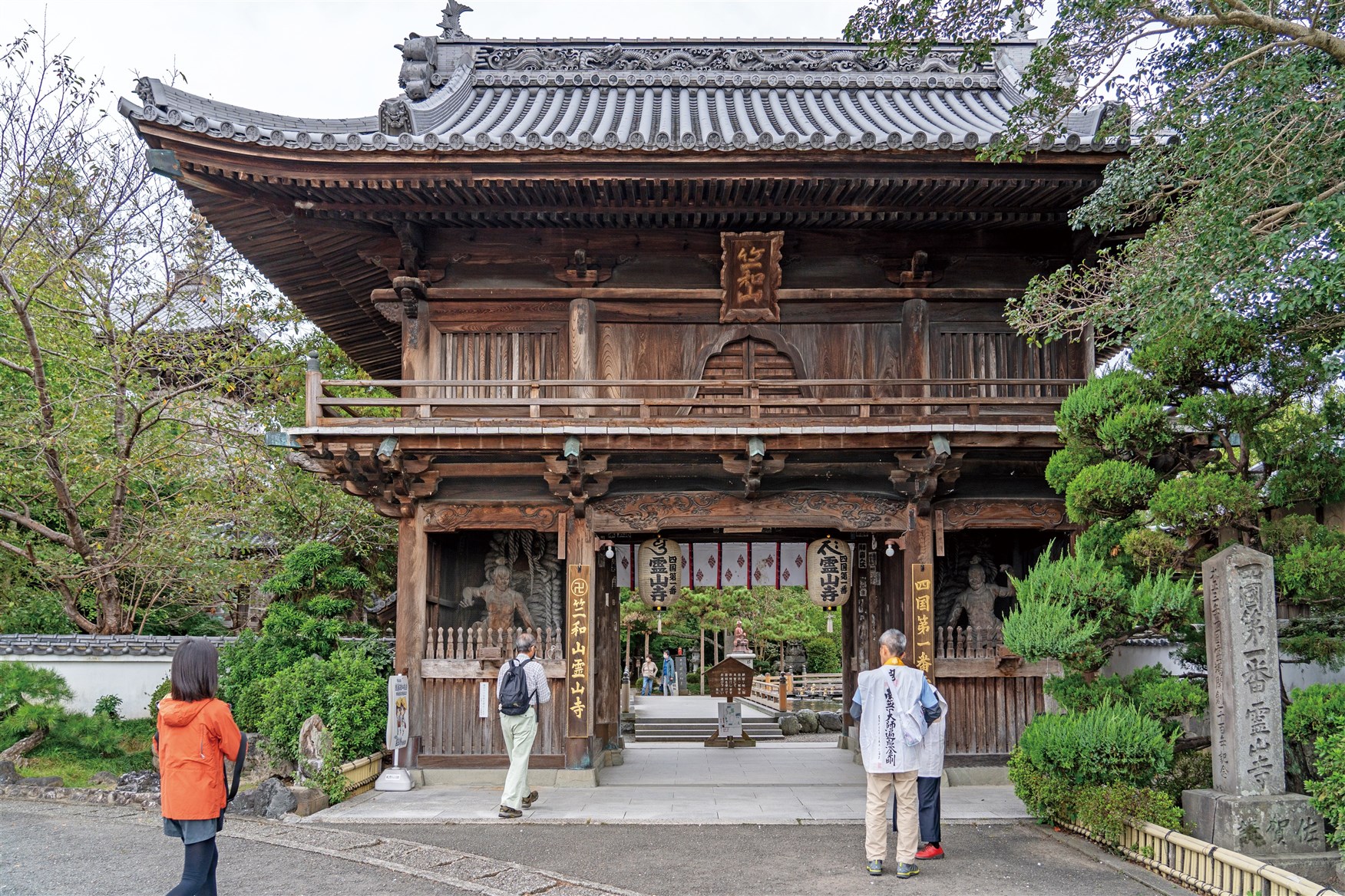
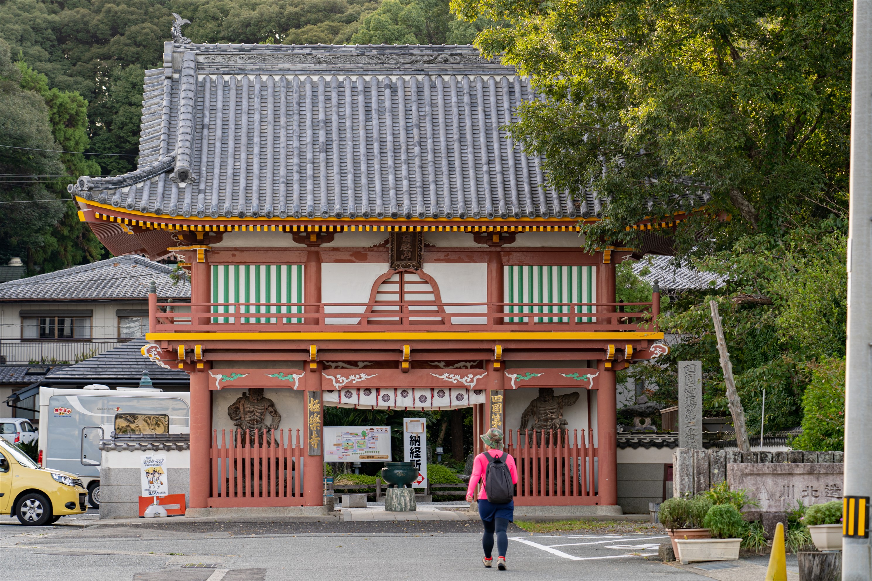
Ryōzenjitemple is the first of 88s a cred places along the Shikoku pilgrimage route.
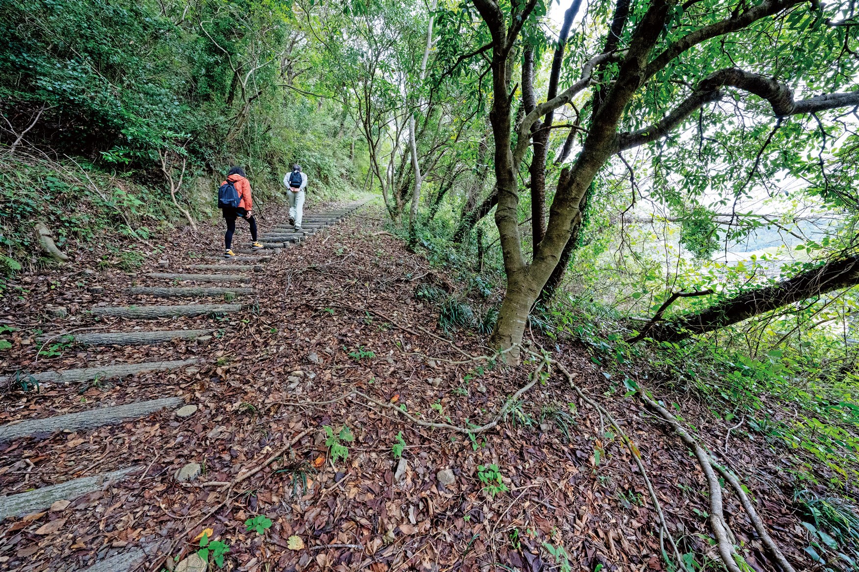
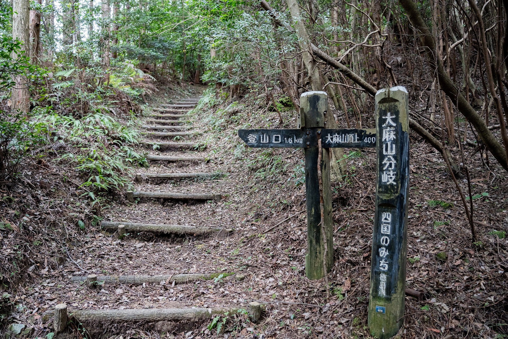
There are many stone steps and stairs , so good quality hiking shoes are recommended.
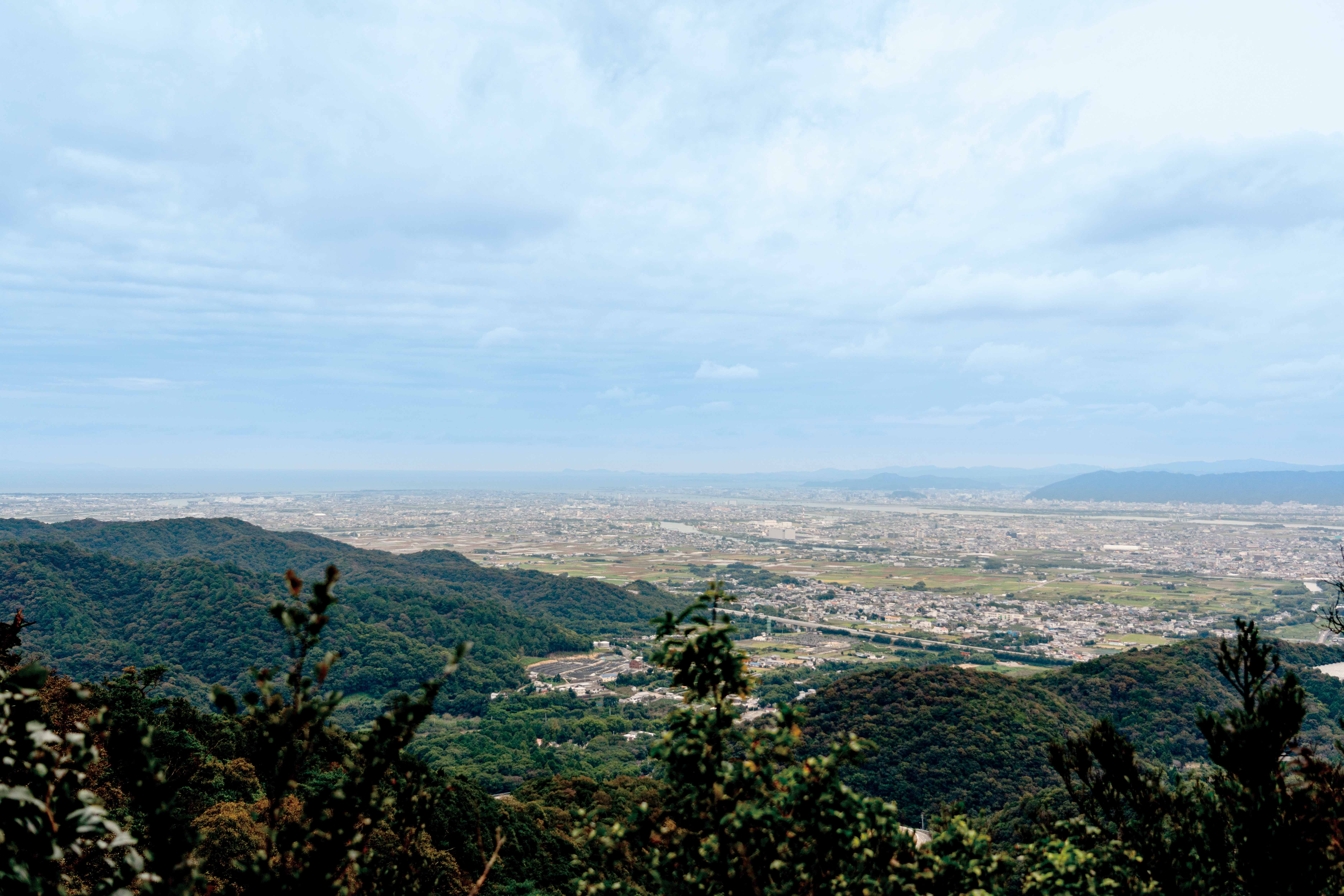
From the summit of Mt.Ōasa(538 m), you can see the Tokushima Plain to the south and the Shikoku Mountains in the background.
Summit of Mt.Oasa (538m), Mine jinja shrine.
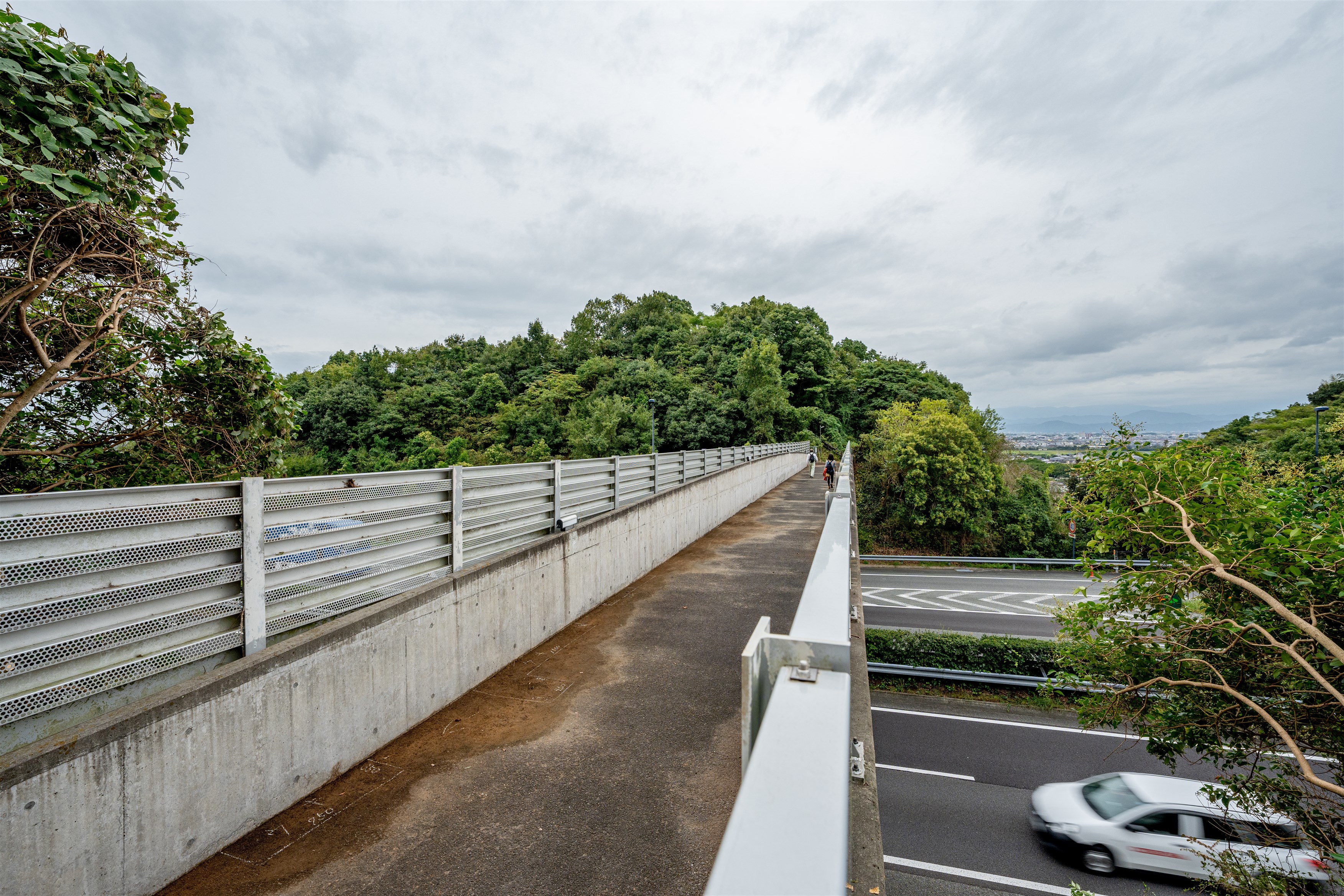
It is a rare experience to walk across the highway.
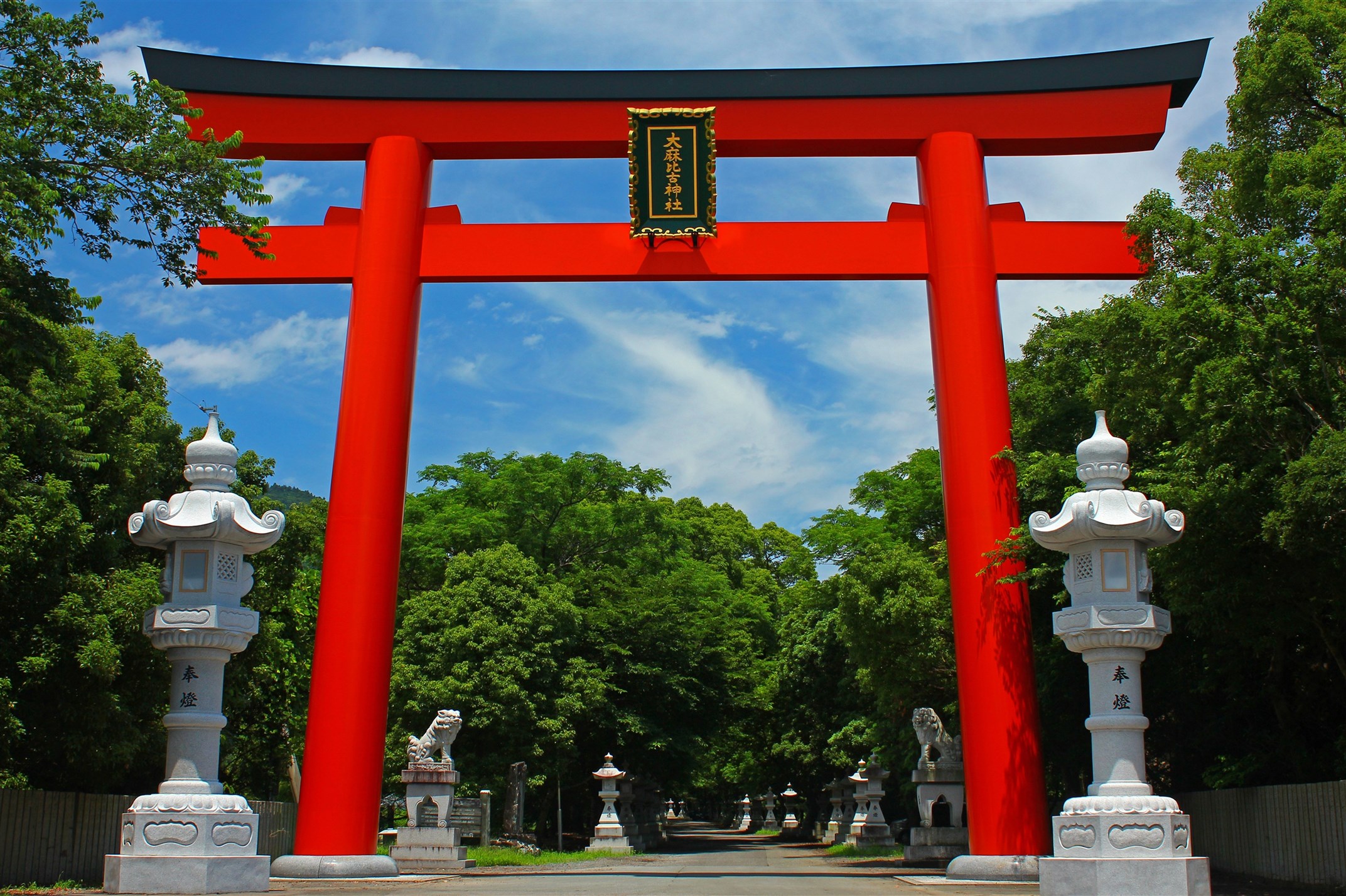
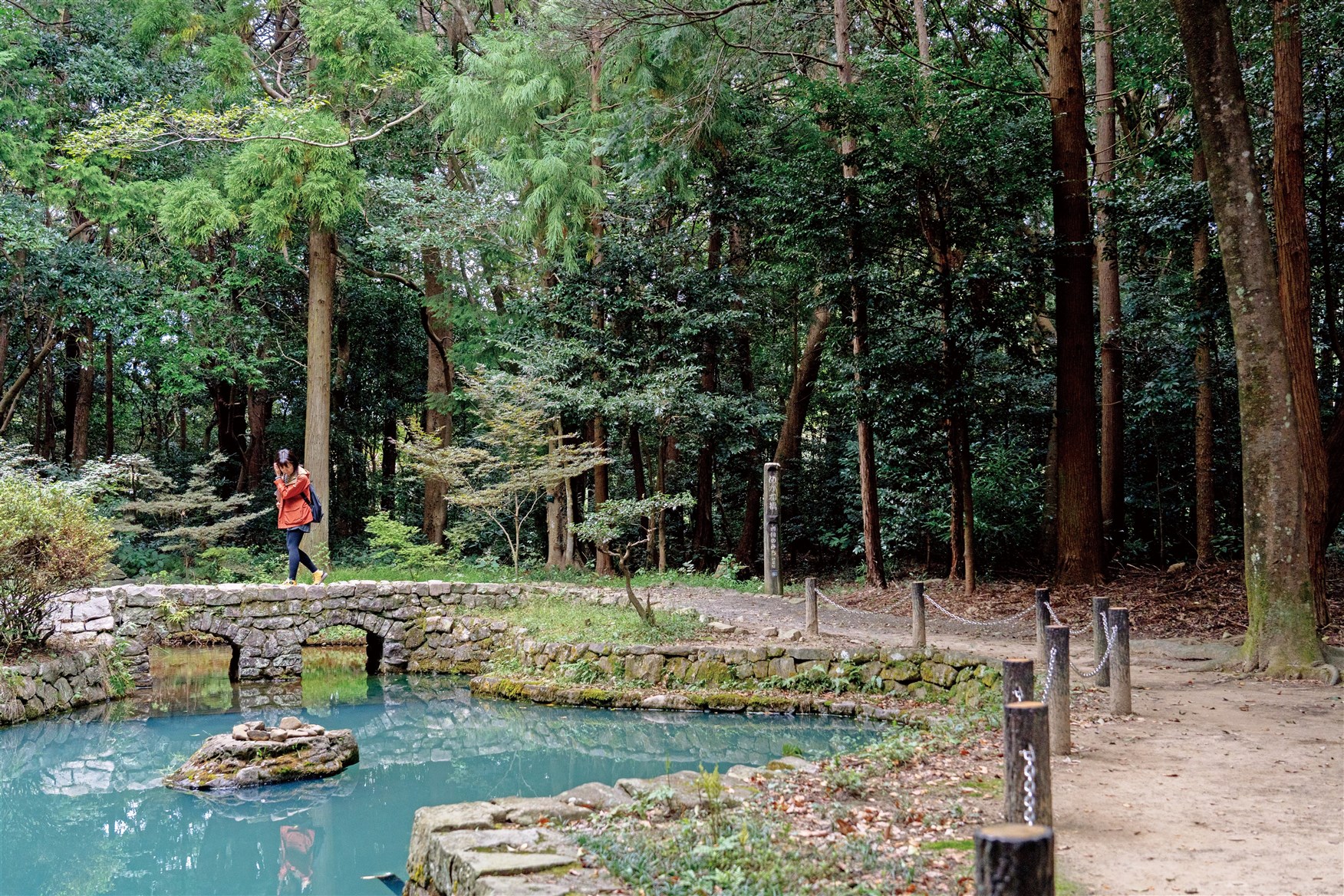
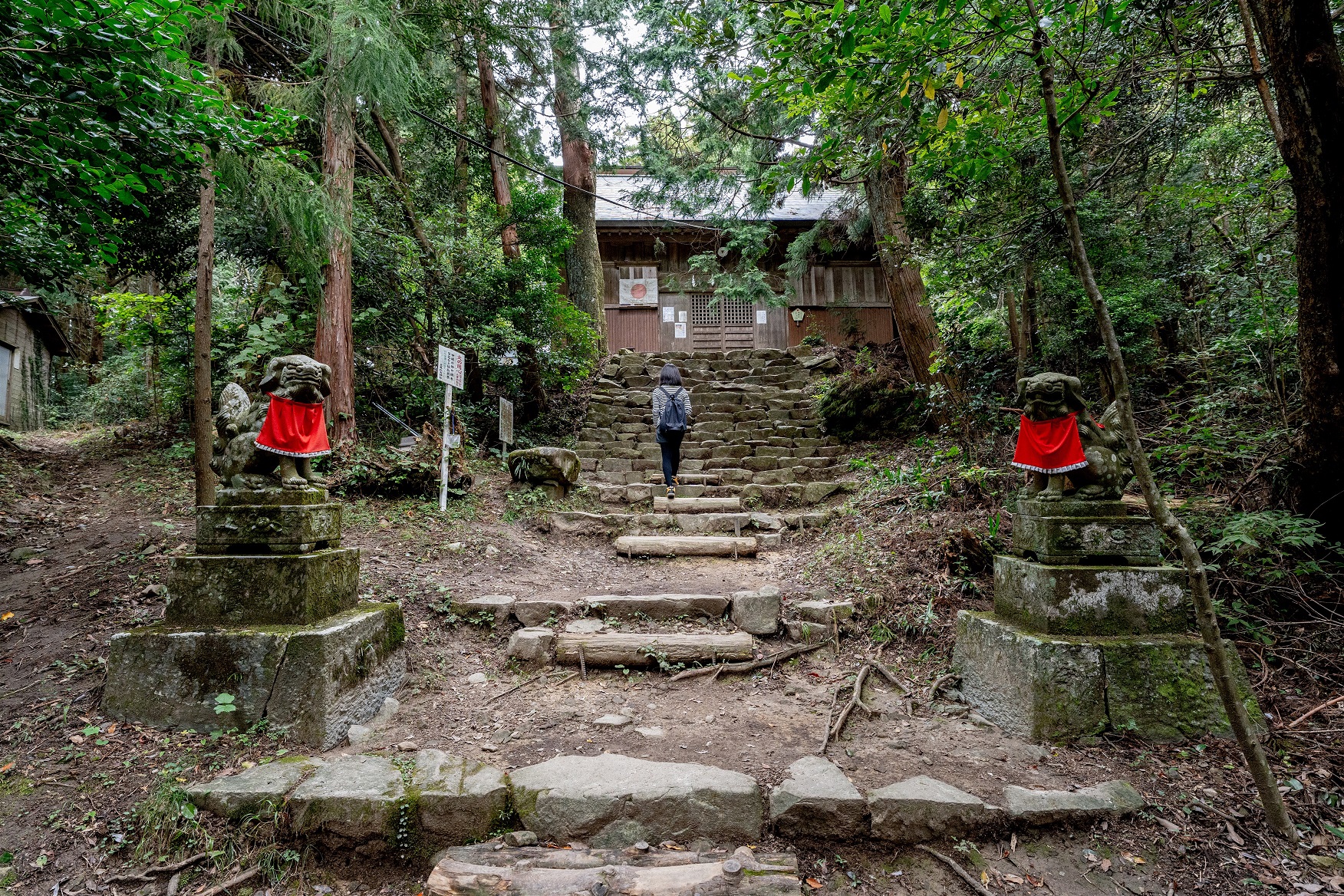
Ōasahikojinja shrine.
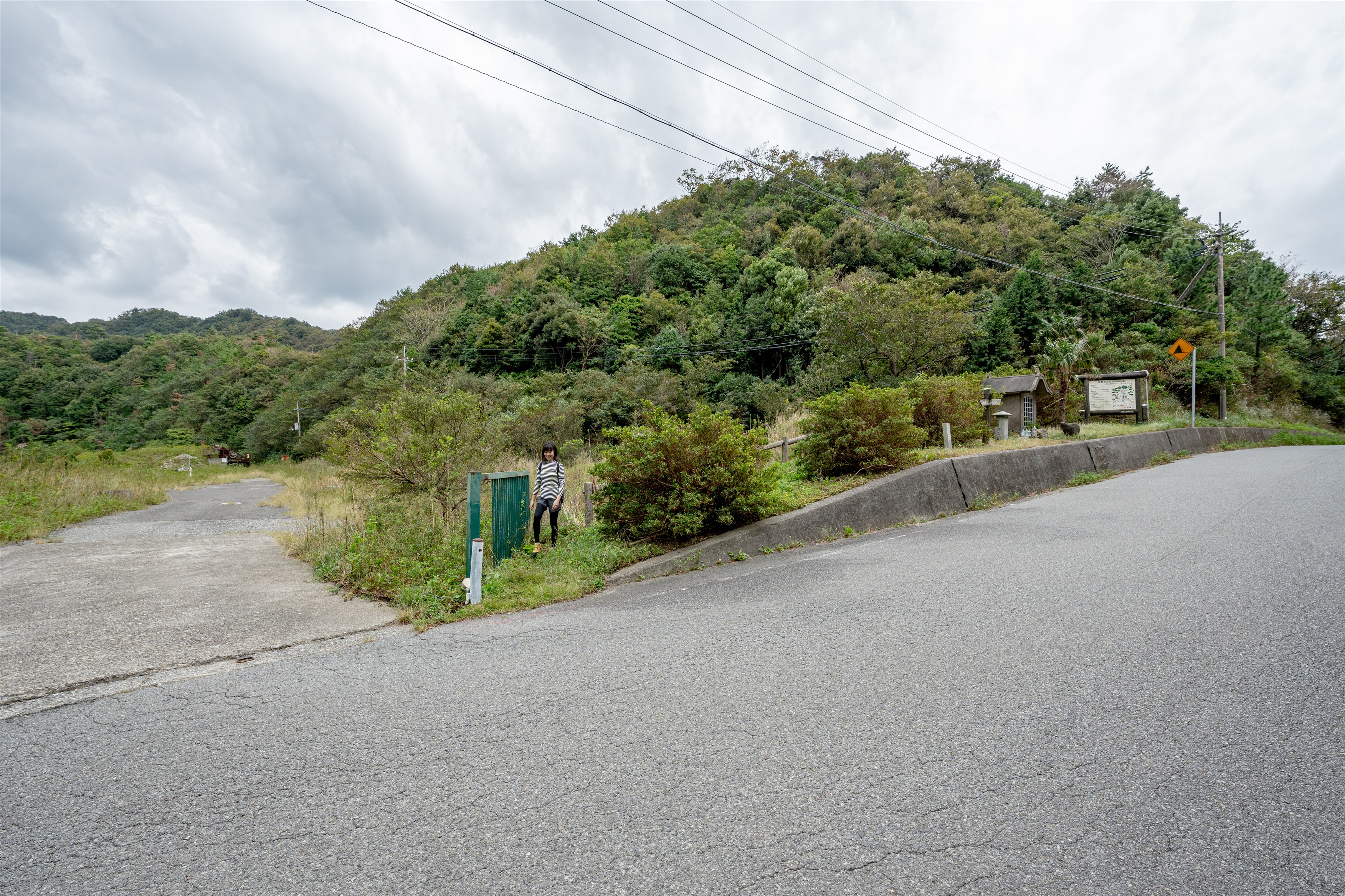
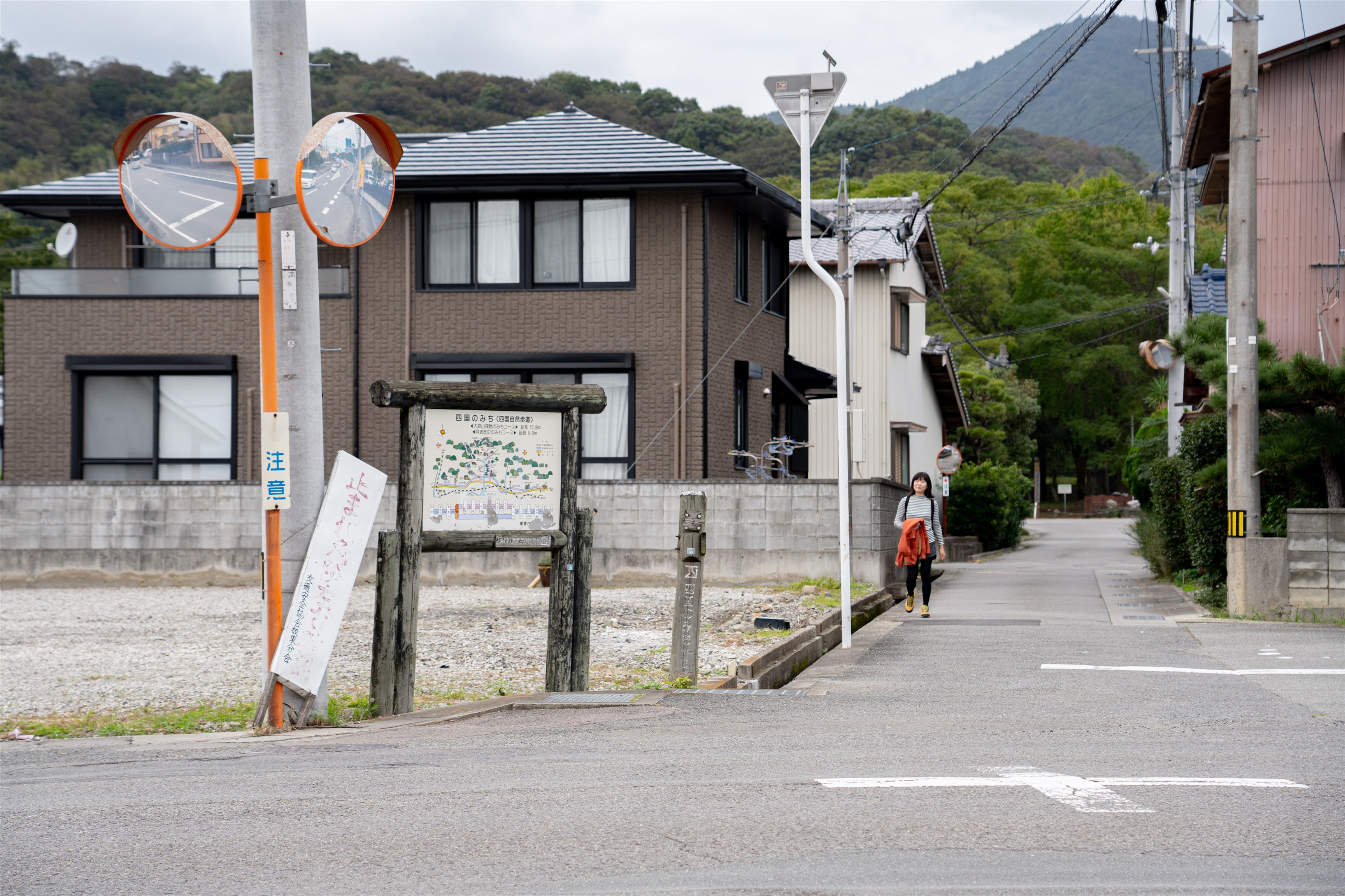
The journey begins at Ryōzenji Temple, the first of 88 Buddhist temples along the pilgrimage route around Shikoku. From here, go to nearby Ōasahiko Shrine, one of the most famous shrines in Tokushima Prefecture that many people go to visit. While enjoying the scenery of the shrine and surrounding forest, head toward the trailhead of Mt. Ōasa (elev. 538 m). This trail is popular among mountain hikers and one enjoyable part of this trip is the interactions with people you meet along the way. At the summit of the mountain is a small shrine known as an “okumiya”, and the air is filled with a sense of the gods. Udatsugoe, a mountain pass located on the border between Hinoki, Ōasa Town and Orino, Kitanada Town, was an important road used for daily life in the past. The road is surrounded by lush vegetation, and the you will probably hear the chirping of wild birds as you go over the pass. Head towards the Doitsu Kan (Naruto German House), and from the entrance next to the roadside station Michi no Eki Daiku-no-Sato, go to Mt. Maruyama, where the Bandō no Kane (Bellof Bandō) stands. Go up the mountain, cross over the highway, and proceed to the German Village Park. Then, after passing through the park, you will see a sign for the end of the tour where it meets Prefectural Road No. 12. From there, it is a 10-minute walk back to the starting point, Ryōzenji Temple.
Ryōzenji Temple ~ Ōasahiko Shrine ~ Mt. Ōasa Trailhead ~ Mt. Ōasa Junction ~ Udatsu Pass ~ Doistu Kan(Naruto German House) ~ German Village Park ~ Hinoki,Ōasa Town
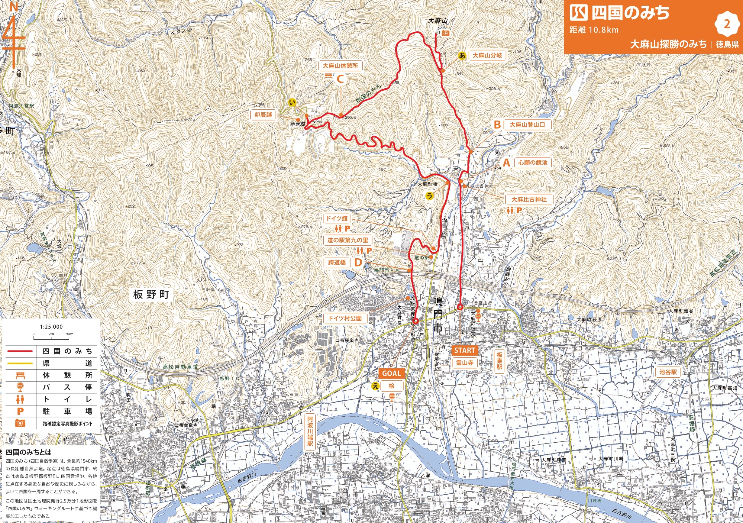
MAP 【A】 From the Mt. Ōasa juncation, walk with caution as a steep climb continues.
MAP【I】 Exit to a wide roadway.
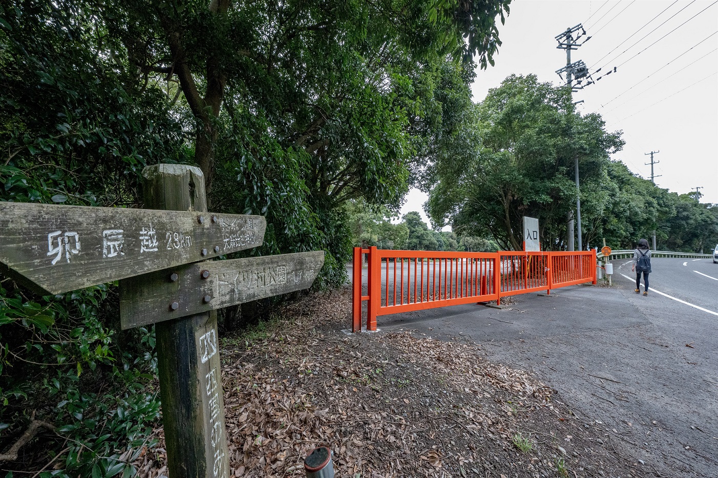
MAP 【U】 Follow the red fence.
MAP【E】 Exit at the prefectural road after passing through the German Village Park, and you will reach the end of the trail.
Gokurakuji temple, the second of the 88 temples along the Shikoku pilgrimager, is a 20-minute walk from the last stop. You can also extend your trip a little further and enjoy the feeling being a pilgrim.
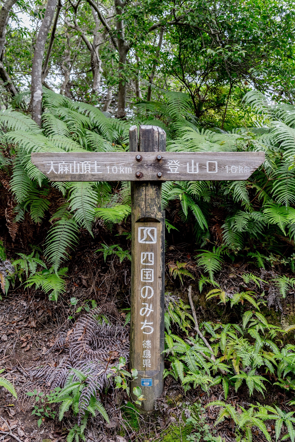
Sign [No. 133] around summit of Mt.Oasa
Those wishing to receive a certificate of completion must take a photograph of oneself at the defined photo points on each course.
Take Tokushima Prefectural Road No. 12 toward Naruto.
-
◎START
Railway: Approx. 10 minutes on foot from "Bando Station" on the JR Kotoku Line.
Bus: A short walk from "Ryōzenji" Tokushima bus stop.
◎GOAL
Railway: Approx. 15 minutes on foot from "Bando Station" on the JR Kotoku Line.
Bus: A short walk from "Hinoki" Tokushima bus stop.