文字サイズ

文字サイズ


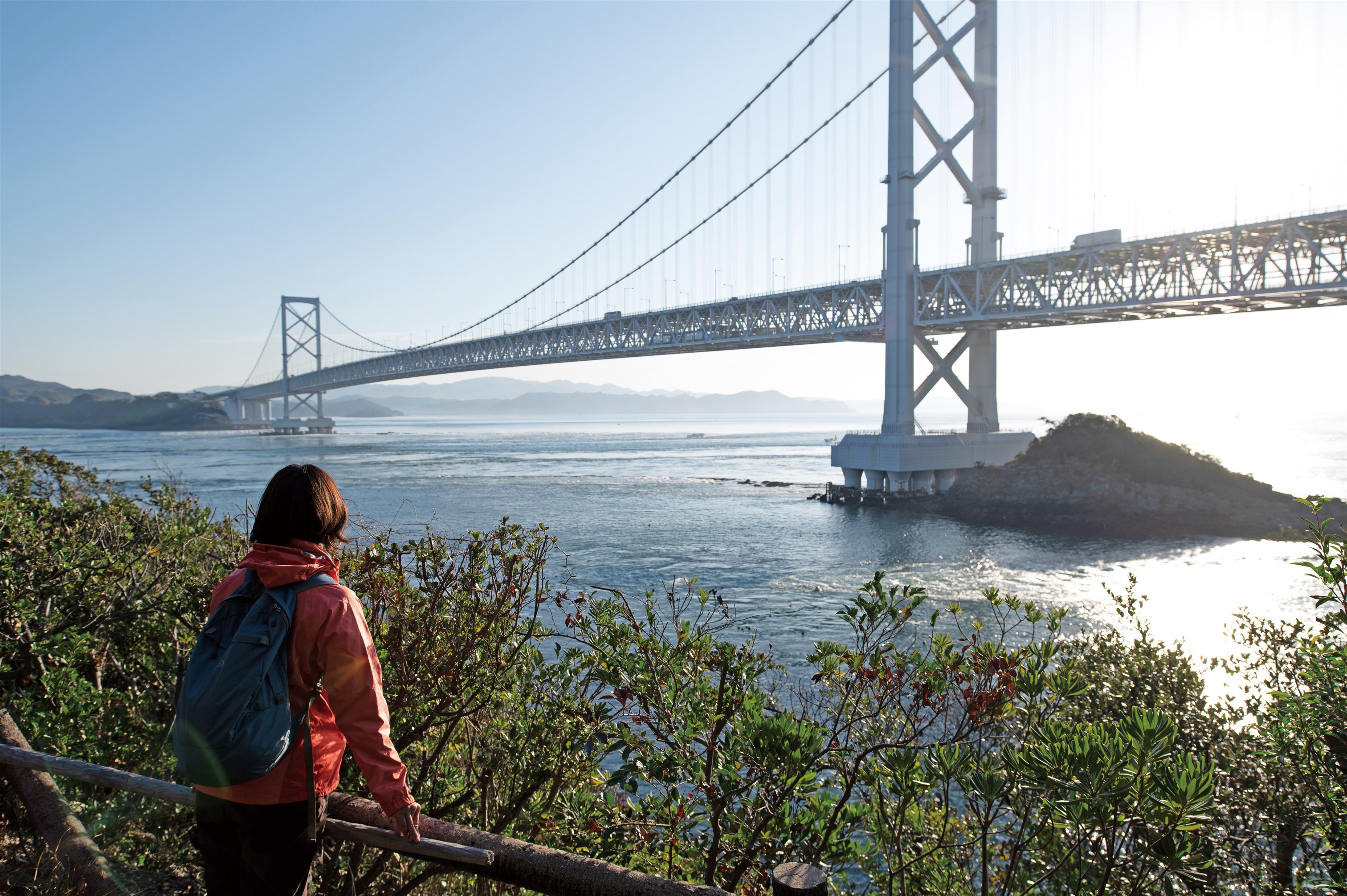
Under the Ōnarutokyō Bridge is a 450-meter promenade called the "Uzu no Michi" (whirlpool path) where you can enjoy looking down at the whirlpools.
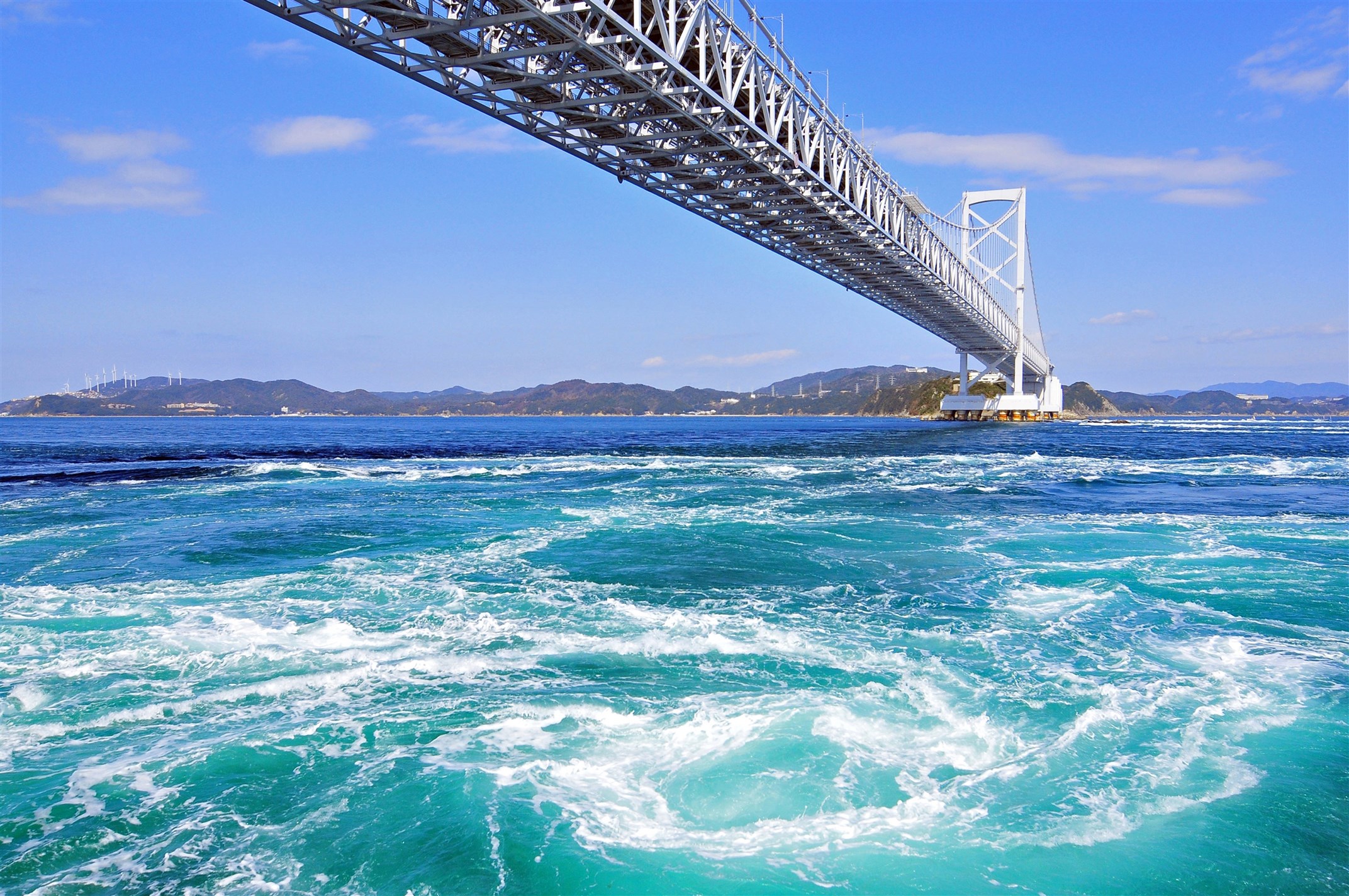
The Naruto Straits are home to many reefs and countless whirlpools of various sizes.
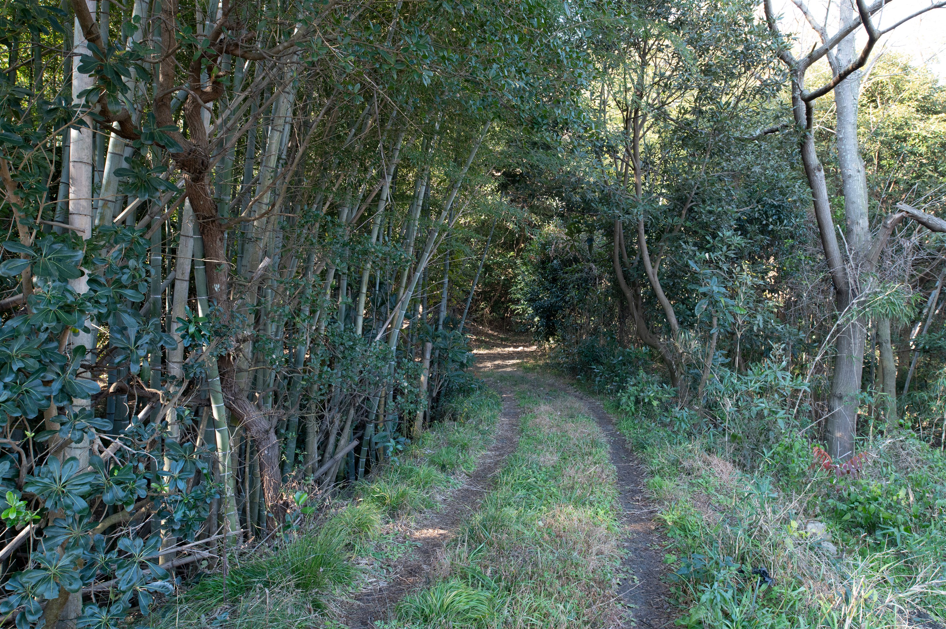
After passing through the mountains, you get a good view of the peaceful fishing village scenery of Muro.
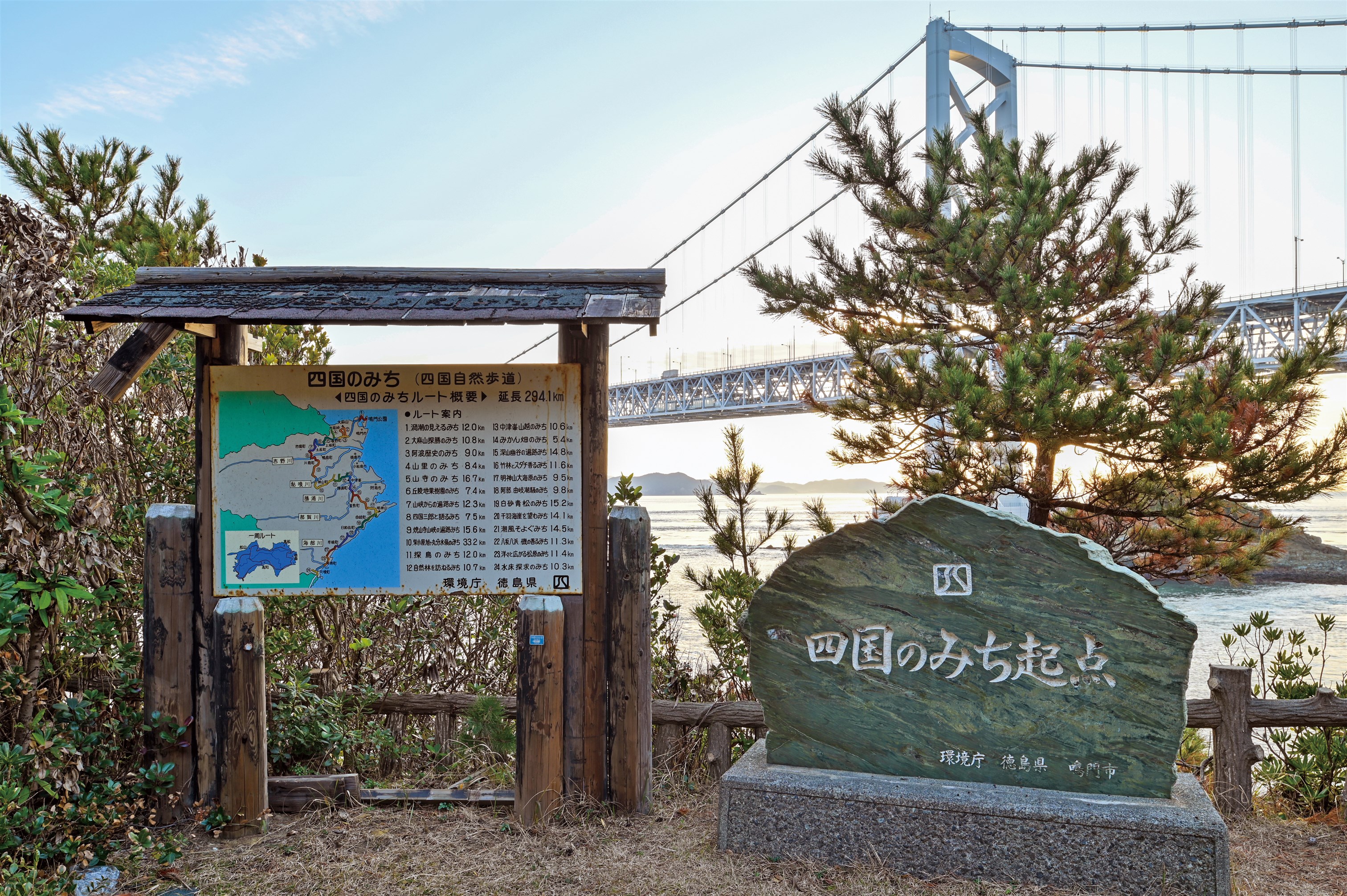
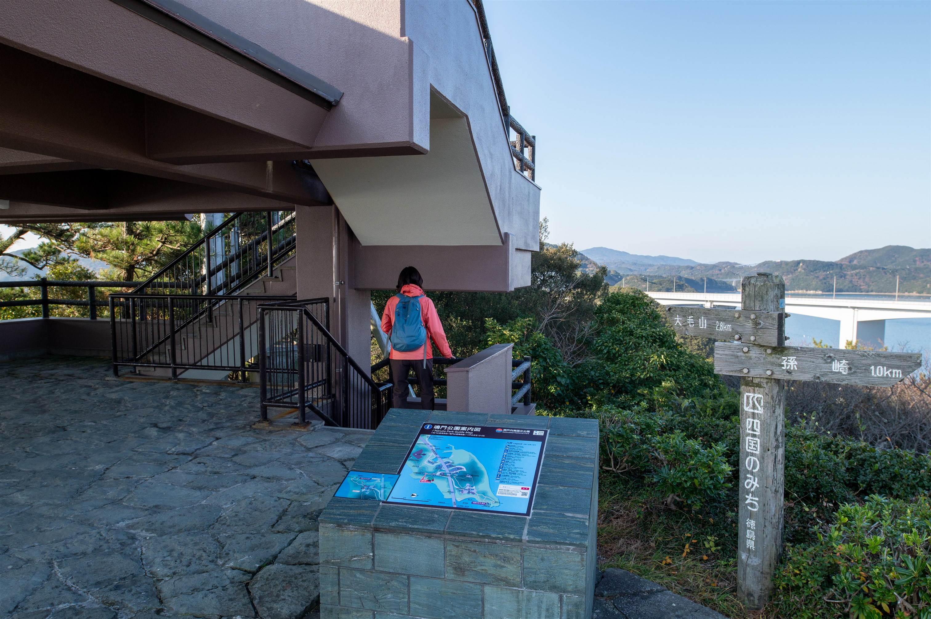
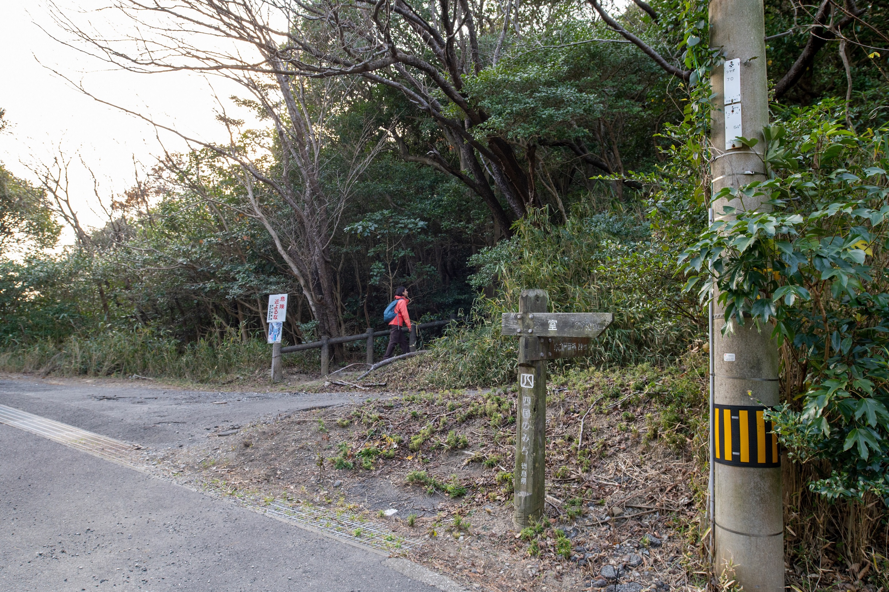
A stone monument is the starting point of the Shikoku no Michi.
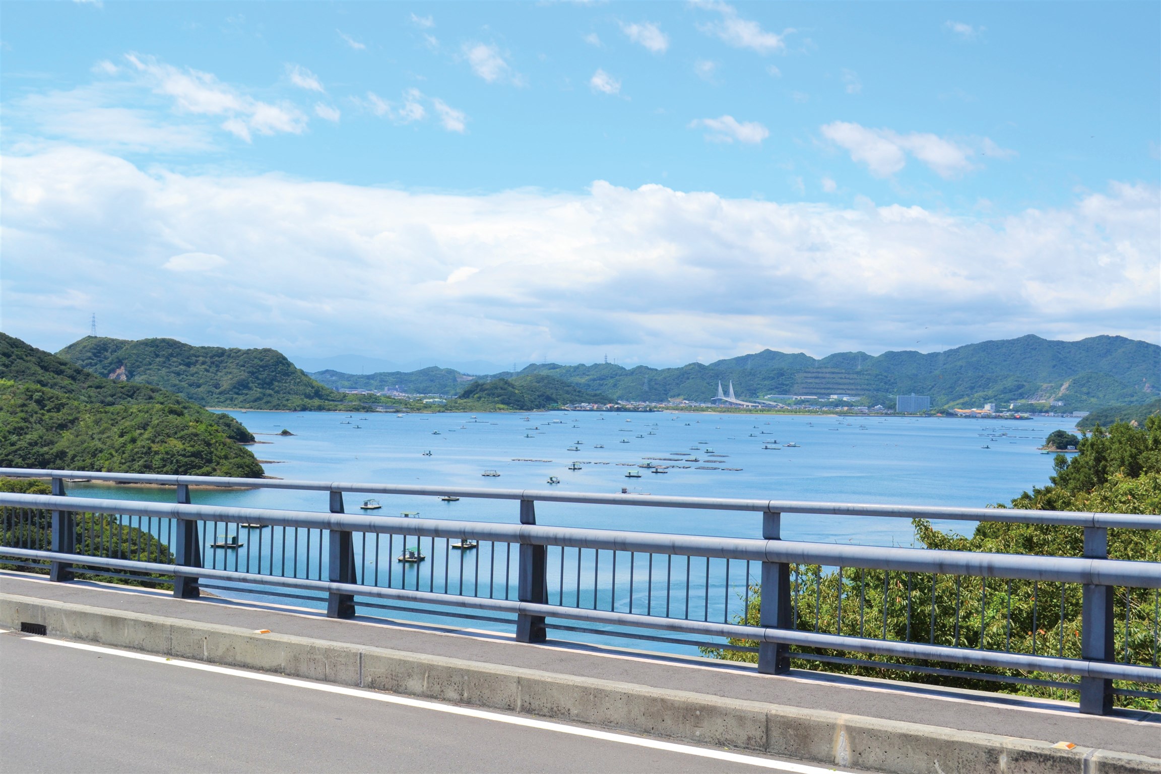
The Uchino-umi(inner bay)is surrounded by Ōgejima and Shimadajima.
Many rafts float on the calm surface of the sea.
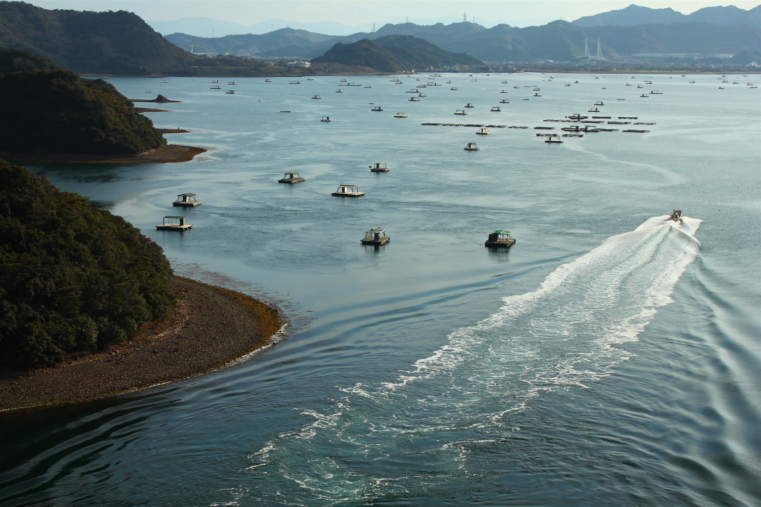
The Uchino-umi(inner bay)
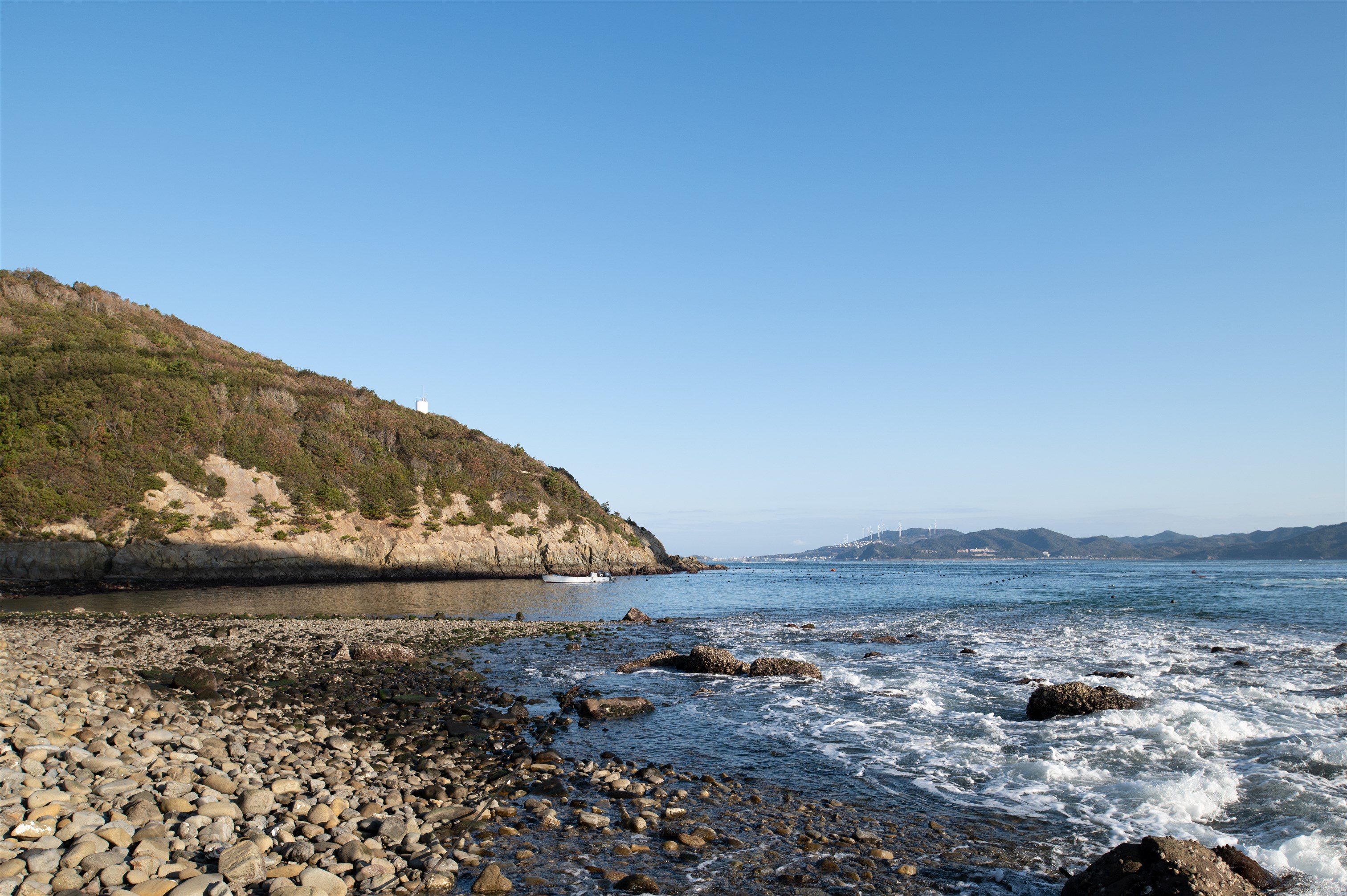
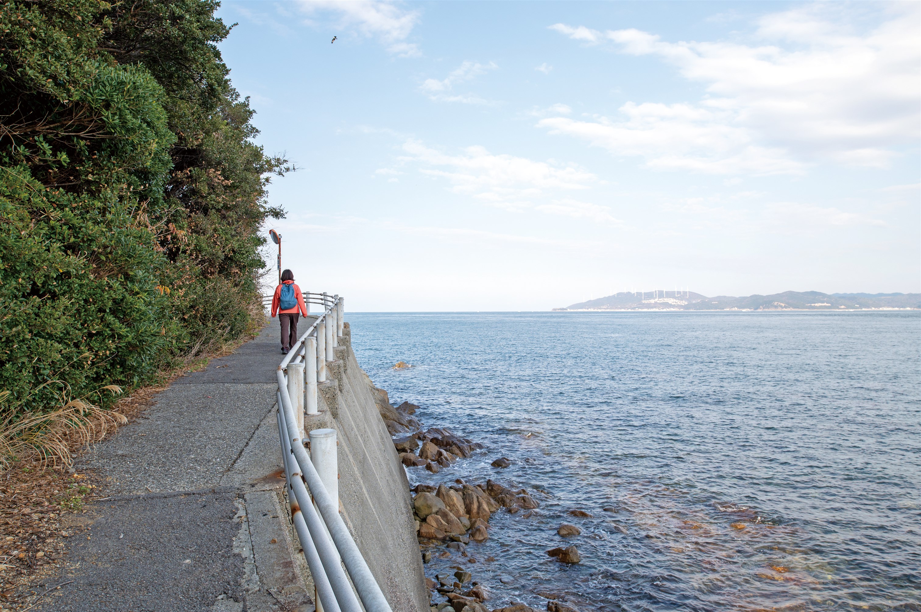
The view from Aigahama beach.
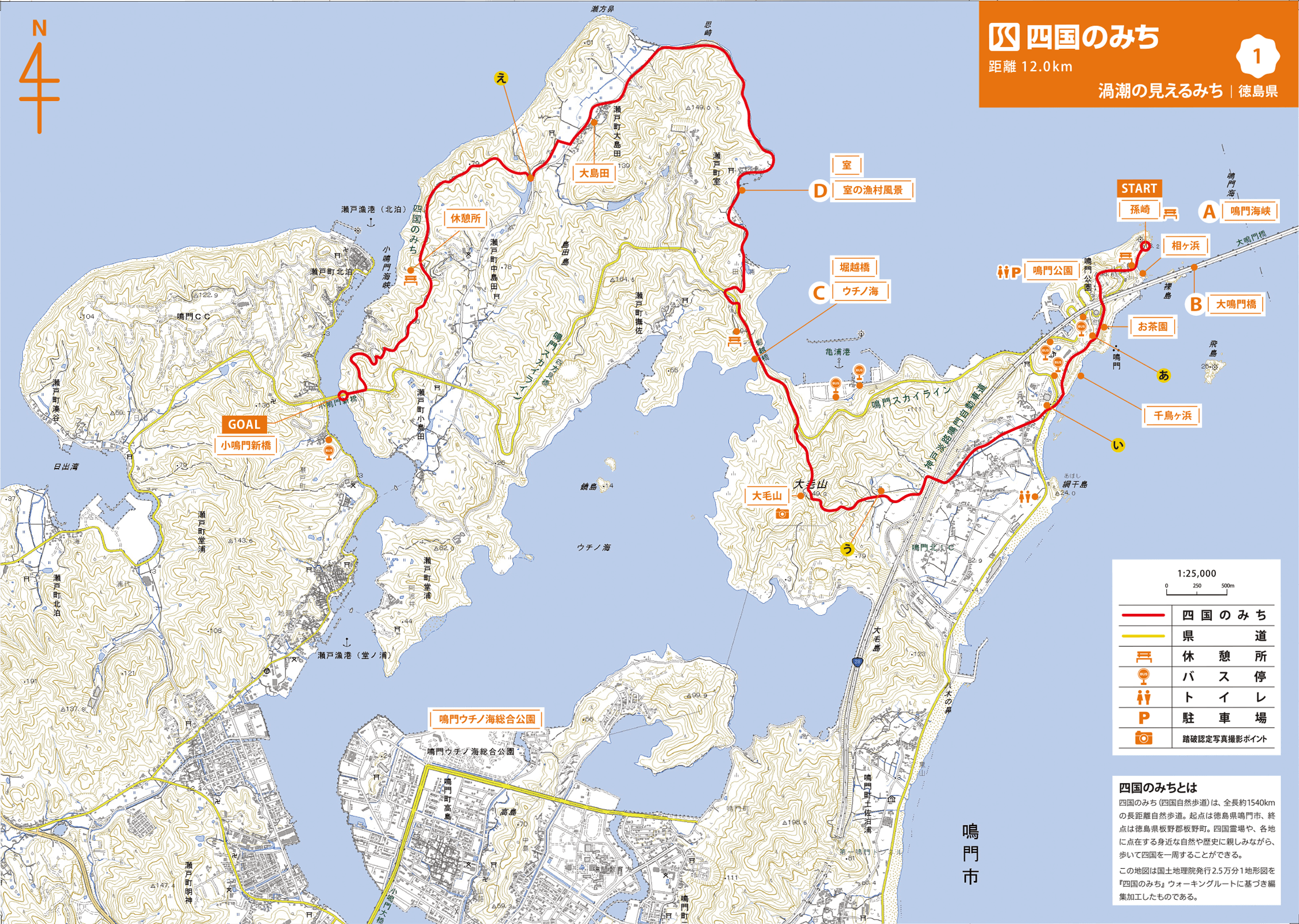
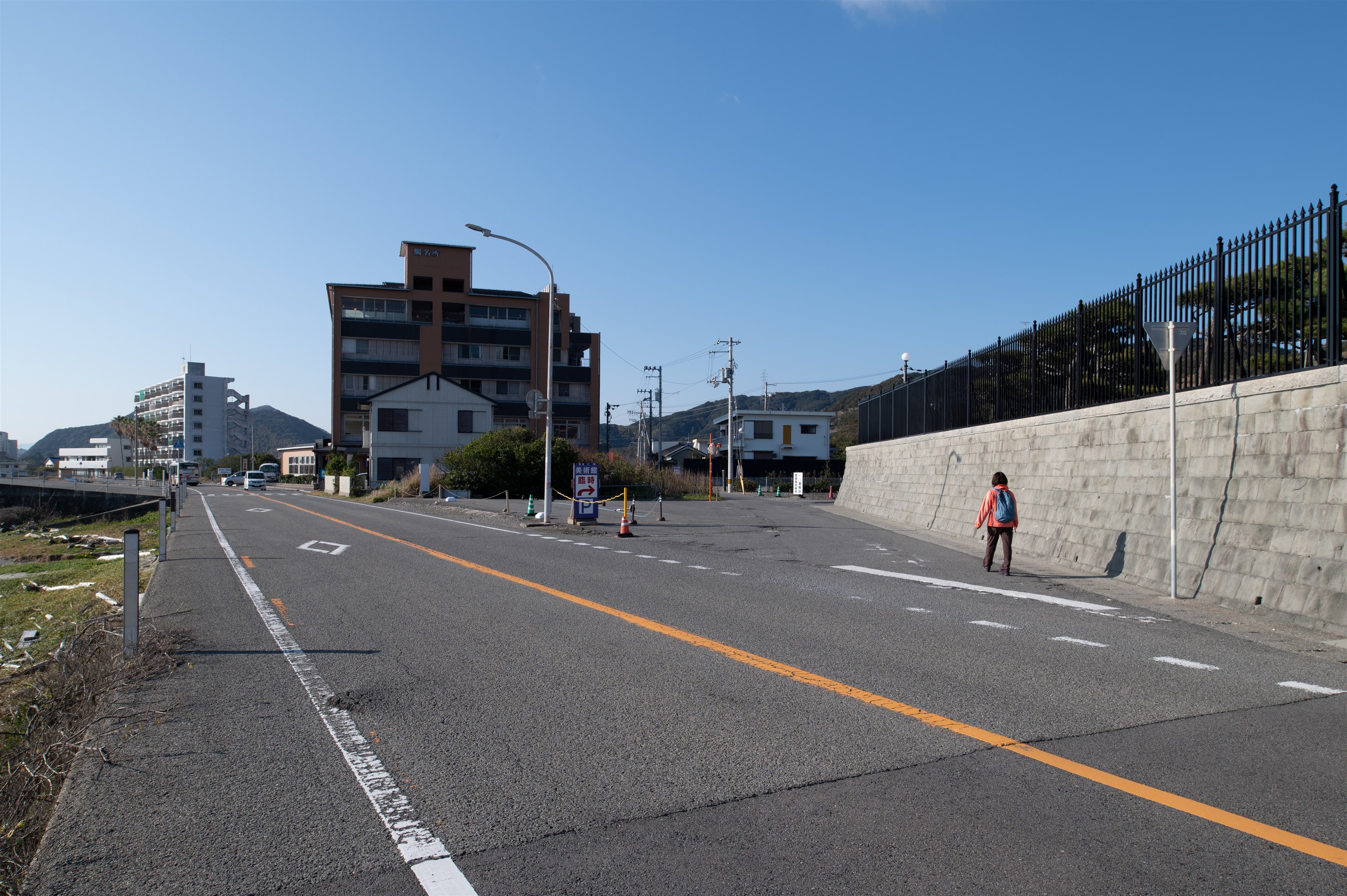
The Shikoku no Michi journey begins at a stone monument where you can see the 1.6 km long Ōnarutokyō Bridge over the Naruto Strait leading to Awaji Island. Underneath the bridge you can see whirlpools swirling, and at Aigahama Beach you can see the white waves crashing in and the reefs being washed away by the waves. A promenade continues for a while, and after crossing a mountain path, you arrive at the Naruto Skyline. In the tranquil inner bay of Naruto City, called Uchino-umi, you can see more than 100 rafts crowded with fishermen during the busy season. Continue past the houses to a small fishing village. Walk along the coast for a while and enjoy the scenery of life by the sea. Climb up the mountain road again and pass through the mountain path of Shimada Island to reach the Konaruto Strait. This is a route that allows you to fully enjoy the Naruto Sea.
Magosaki ~ Ochaen ~ Mt. Ōge (149 m) ~ Horikoshi Bridge ~ Muro ~ Ōshimada ~ Rest spot ~ Konarutoshinbashi Bridge
MAP【A】 Go down the stairs of the Tea Garden observation spot.
MAP【I】 Cross the crosswalk and go to the road on the other side
MAP 【U】 Be careful as the sign is difficult to see.
MAP【E】 Go to the road on your left.
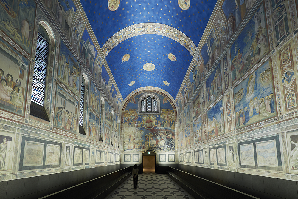
If you stop by the Uzu no Michi (whirlpool path) in the middle of the course, you might be able to see the powerful whirlpools from 45 meters above the sea level. The Otsuka Museum of Art, located nearby, allows you to see full-size ceramic board reproductions of world-famous paintings.
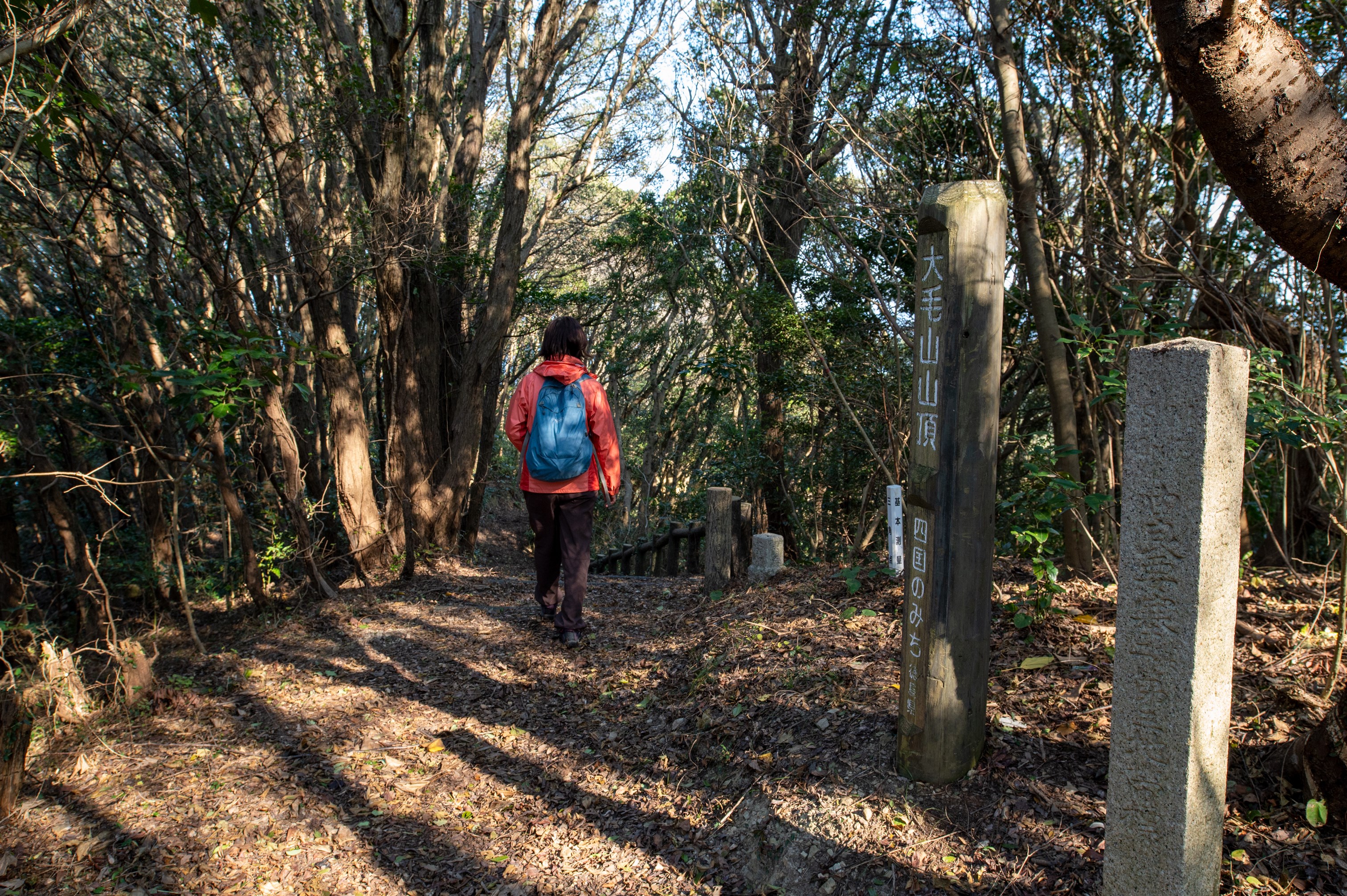
Sign at the summit of Mt.Ōge
Those wishing to receive a certificate of completion must take a photograph of oneself at the defined photo points on each course.
Naruto Park - Parking lot 1,2,3
Naruto Park - Parking lot 1,2,3
◎START
Railway --
Bus: (Tokushima bus) 7 min. walk from "Naruto Koen (Park) ".
◎GOAL
Railway --
Bus: (Tokushima bus) 11 min. walk from "Kojinoura".